Scurry County

Scurry County, Texas

Scurry County, Texas
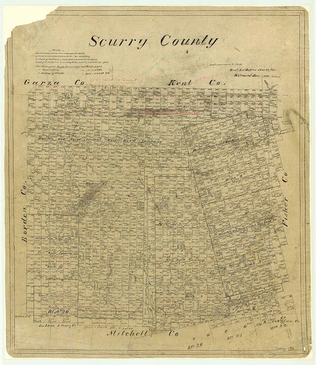
Scurry County is at the base of the Llano Estacado in West Texas, bordered on the east by Fisher County, on the south by Mitchell County, on the west by Borden County, and on the north by Garza and Kent counties. The center of the county lies at 32°45' north latitude and 100°55' west longitude, ninety miles northwest of Abilene. Snyder, the county seat, is just south of the center of the county and sixty-three air miles northwest of Abilene. The area was named for William R. Scurry, a Confederate general. The county extends across 904 square miles of prairie covered by bluestems, gramas, wildrye, and wheatgrasses, with mesquite trees in some sections; elevations range from 2,000 to 2,700 feet above sea level. The area has light to dark loam surface soils with reddish, clayey subsoils. It is drained by the Colorado River, which cuts across the southwestern corner of the county, and by tributaries of the Clear Fork of the Brazos River. Temperatures range from an average low of 26° F in January to an average low of 95° in July. Rainfall averages 19.32 inches annually, and the average growing season lasts 214 days.
In 1982 about 95 percent of the county's land was in farms and ranches, with 19 percent under cultivation. That year the county earned an average annual agricultural income of $29 million from crops, especially cotton, sorghums, and small grains, and from livestock and livestock products. The county is one of the leading oil-producing regions in Texas, due to its location in the Permian Basin, one of the state's largest petroleum deposits. In 1982 more than 31,732,000 barrels of crude oil and over 53,088,000 thousand cubic feet of casinghead gas were produced in the county. The area's transportation network includes U.S. Highway 84, which bisects the county from its northwest to southeast corners; U.S. Highway 180, which crosses from east to west; and State Highway 208, which runs north to south through the middle of the county.
John Leffler | © TSHA
Adapted from the official Handbook of Texas, a state encyclopedia developed by Texas State Historical Association (TSHA). It is an authoritative source of trusted historical records.
- ✅ Adoption Status:
- This place is available for adoption! Available for adoption!
- Adopted by:
- Your name goes here
- Dedication Message:
- Your message goes here
Currently Exists
Yes
Place type
Scurry County is classified as a County
Altitude Range
1800 ft – 2840 ft
Size
Land area does not include water surface area, whereas total area does
- Land Area: 905.4 mi²
- Total Area: 907.5 mi²
Temperature
January mean minimum:
28.2°F
July mean maximum:
93.9°F
Rainfall, 2019
22.7 inches
Population Count, 2019
16,703
Civilian Labor Count, 2019
6,455
Unemployment, 2019
9.7%
Property Values, 2019
$3,649,013,828 USD
Per-Capita Income, 2019
$42,095 USD
Retail Sales, 2019
$119,956,458 USD
Wages, 2019
$89,626,982 USD
County Map of Texas
Scurry County
- Scurry County
Places of Scurry County
| Place | Type | Population (Year/Source) | Currently Exists |
|---|---|---|---|
| Town | – | – | |
| Town | – | – | |
| Town | – | – | |
| Town | – | – | |
| Town | – | – | |
| Town | – | – | |
| Town | – | – | |
| Town | – | – | |
| Town | 10 (2014) | Yes | |
| Town | 15 (2009) | Yes | |
| Town | – | – | |
| Town | – | – | |
| Town | – | – | |
| Town | – | – | |
| Town | – | – | |
| Town | – | – | |
| Town | – | – | |
| Town | 75 (2014) | Yes | |
| Town | – | – | |
| Town | – | – | |
| Town | 84 (2021) | Yes | |
| Town | – | – | |
| Town | – | – | |
| Town | – | – | |
| Town | 428 (2021) | Yes | |
| Town | – | – | |
| Town | – | – | |
| Town | – | – | |
| Town | – | – | |
| Town | 12 (2014) | Yes | |
| Town | 250 (2014) | Yes | |
| Town | – | – | |
| Town | 10 (2014) | Yes | |
| Lake | – | Yes | |
| Town | – | – | |
| Town | – | – | |
| Town | – | – | |
| Town | – | – | |
| Town | – | – | |
| Town | – | – | |
| Town | – | – | |
| Town | – | – | |
| Town | – | – | |
| Town | – | – | |
| Town | – | – | |
| Town | – | – | |
| Town | 11,264 (2021) | Yes | |
| Town | 20 (2014) | Yes | |
| Town | – | – | |
| Town | – | – |
Proud to call Texas home?
Put your name on the town, county, or lake of your choice.
Search Places »