King County

King County, Texas

King County, Texas
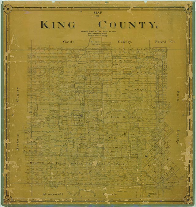
King County, in the Rolling Prairie region of Northwest Texas, is bordered on the north by Cottle and Foard counties, on the east by Knox County, on the south by Stonewall County, and on the west by Dickens County. The center point of the county is 33°38' north latitude and 100°15' west longitude, midway between Lubbock and Wichita Falls. The county was named for William Philip King, who died at the Alamo. King County embraces 944 square miles of hilly, broken country with extensive grasslands and dark loam to red soils. Elevations range from 1,500 to 2,000 feet above sea level; Haystack Mountain and Buzzard Peak are the highest points in the county, which is drained by tributaries of the Wichita and Brazos rivers. Average temperatures range between a minimum of 27° F in January and a maximum of 99° in July. The growing season lasts 219 days, and the average annual rainfall is 21.6 inches. Agriculture in King County produces an annual average income of about $11.5 million, mostly from beef cattle. Some cotton and grains are grown. There is no manufacturing, though oil production in 1982 exceeded 3.5 million barrels, valued at more than $116 million. Principal roads are U.S. Highway 83 (north to south) and U.S. Highway 82 (east to west).
The area that is now King County was occupied by Apache Indians until the early eighteenth century, when Comanches moved into the region. Comanches of the Wanderers band controlled the area until the late nineteenth century. The material culture of the Wanderers reflected the tribe's nomadic habits. Their tepees were easily moved and set up as they roamed the area hunting buffalo and other game, as well as the several plants the group used for food. Like other Comanche bands, the Wanderers were fierce warriors, skilled horsemen, and relentless raiders. In the 1870s the United States Army pushed the Indians out of the area and opened the region to White settlement. On August 21, 1876, the Texas legislature formed King County from lands previously assigned to Bexar County. By 1880 the United States Census counted forty residents in the county. Some of the earliest settlers were Isom Lynn, A. C. Tackett, Brants Baker, and Bud Arnett. In 1890 there were twenty ranches and farms encompassing 4,413 acres in the county, and the population had grown to 173. In 1891, the county was organized, with the small town of Guthrie designated as the county seat. By 1900 the county had fifty-three farms and ranches, encompassing more than 480,232 acres. The population had grown to 490.
John Leffler | © TSHA
Adapted from the official Handbook of Texas, a state encyclopedia developed by Texas State Historical Association (TSHA). It is an authoritative source of trusted historical records.
- ✅ Adoption Status:
Currently Exists
Yes
Place type
King County is classified as a County
Altitude Range
1450 ft – 2250 ft
Size
Land area does not include water surface area, whereas total area does
- Land Area: 910.9 mi²
- Total Area: 913.3 mi²
Temperature
January mean minimum:
27.0°F
July mean maximum:
95.9°F
Rainfall, 2019
25.5 inches
Population Count, 2019
272
Civilian Labor Count, 2019
217
Unemployment, 2019
1.8%
Property Values, 2019
$595,058,140 USD
Per-Capita Income, 2019
$55,661 USD
Wages, 2019
$1,636,517 USD
County Map of Texas
King County
- King County
Places of King County
Proud to call Texas home?
Put your name on the town, county, or lake of your choice.
Search Places »