Camp County

.jpg)
Camp County, Texas

Camp County, Texas
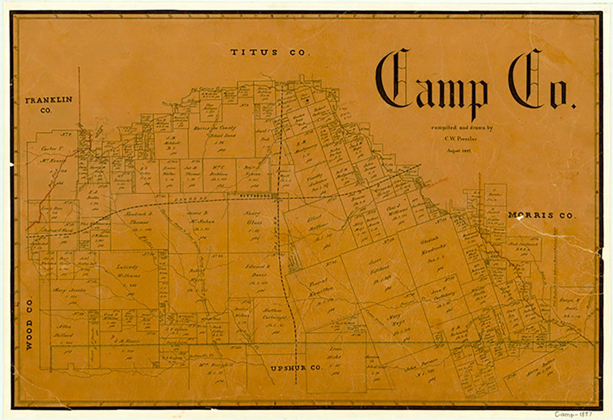
Camp County, the third smallest Texas county, comprises 203 square miles of the East Texas timberlands, an area that is heavily forested with a great variety of softwoods and hardwoods, especially pine, cypress, and oak. The terrain ranges from nearly level to hilly; the largest portion of the county is undulating to rolling. The county is located in northeastern Texas, forty miles from the state's eastern boundary and fifty miles from the state's northern boundary. Pittsburg, the county seat and the county's largest town, is located on U.S. Highway 271, sixty miles southwest of Texarkana and ninety miles northeast of Dallas. The county center lies at 32°58' north latitude and 94°57' west longitude. Two railroads cross Camp County and intersect in Pittsburg. The St. Louis Southwestern Railway, constructed as the Texas and St. Louis Railway in the late 1870s, crosses the county from north to south, and the Louisiana and Arkansas Railway, constructed in the late 1870s as the East Line and Red River Railway, crosses the county from east to west. The elevation ranges from 250 to 450 feet above mean sea level. The county is drained by Big Cypress Creek, which formed the northern and eastern boundaries of the county when it was organized. There are six major lakes within eighteen miles of Pittsburg that are reputed to be among the best bass-fishing lakes in Texas. By 1983 Lake Bob Sandlin and Lake O' The Pines had subsumed more than half of the creekbed along the boundaries of the county. The soils in Camp County are predominantly light-colored loam with loam and clay subsoils. Between 31 and 40 percent of the land in the county is considered prime farmland. Mineral resources include ceramic clay, industrial sand, oil, gas, and lignite coal. Temperatures range from an average high of 94° F in July to an average low of 30° in January. Rainfall averages forty-four inches a year, and the growing season extends for an average of 240 days.
The area of Camp County has been the site of human habitation for several thousand years, although perhaps not continuously. Artifacts have been recovered from sites to the north in Titus County that date from the Archaic Period (ca. 5000 B.C.-A.D. 500). During historic times, the earliest occupants of the county were the Caddo Indians, an agricultural people with a highly developed culture. During the 1820s and 1830s, American settlements in other parts of Texas caused a number of groups of Indians associated with other tribes such as the Creek, the Choctaw, and the Cherokee to settle in the area. But by the 1840s the Indians had generally been displaced by settlers.
Cecil Harper, Jr. | © TSHA
Adapted from the official Handbook of Texas, a state encyclopedia developed by Texas State Historical Association (TSHA). It is an authoritative source of trusted historical records.
- ✅ Adoption Status:
Currently Exists
Yes
Place type
Camp County is classified as a County
Altitude Range
236 ft – 538 ft
Size
Land area does not include water surface area, whereas total area does
- Land Area: 195.8 mi²
- Total Area: 203.2 mi²
Temperature
January mean minimum:
33.1°F
July mean maximum:
95.2°F
Rainfall, 2019
45.1 inches
Population Count, 2019
13,094
Civilian Labor Count, 2019
4,833
Unemployment, 2019
8.8%
Property Values, 2019
$1,140,784,931 USD
Per-Capita Income, 2019
$38,660 USD
Retail Sales, 2019
$110,083,487 USD
Wages, 2019
$39,462,405 USD
County Map of Texas
Camp County
- Camp County
Places of Camp County
| Place | Type | Population (Year/Source) | Currently Exists |
|---|---|---|---|
| Town | – | – | |
| Town | – | – | |
| Town | – | – | |
| Town | 41 (2009) | Yes | |
| Town | – | – | |
| Town | – | – | |
| Town | 55 (2009) | Yes | |
| Town | – | – | |
| Town | – | – | |
| Town | – | – | |
| Town | 48 (2009) | Yes | |
| Town | – | – | |
| Town | – | – | |
| Town | – | – | |
| Lake | – | Yes | |
| Town | 128 (2009) | Yes | |
| Town | – | – | |
| Town | – | – | |
| Town | – | – | |
| Town | – | – | |
| Town | – | – | |
| Town | – | – | |
| Town | – | – | |
| Town | – | – | |
| Town | 113 (2009) | Yes | |
| Town | – | – | |
| Town | – | – | |
| Town | – | – | |
| Town | 78 (2009) | Yes | |
| Town | 4,374 (2021) | Yes | |
| Town | – | – | |
| Town | 83 (2021) | Yes | |
| Town | – | – | |
| Town | – | – | |
| Town | – | – | |
| Town | – | – | |
| Town | – | – | |
| Town | – | – | |
| Town | – | – |
Photos Nearby:

Pittsburg, Texas
Jefferson Street, dowtown in the City of Pittsburg, Texas. Photgraph by Michael Barera.
.jpg)

Some great blue heron nests on Lake Bob Sandlin
Photo by Erin, Flickr, CC2
Proud to call Texas home?
Put your name on the town, county, or lake of your choice.
Search Places »