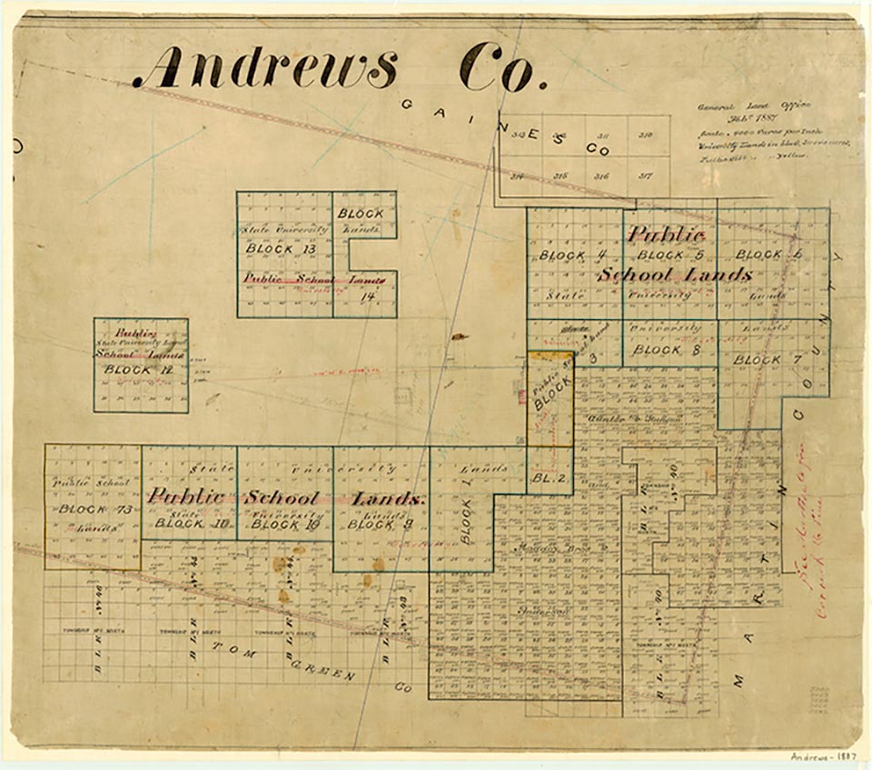
Andrews County

Andrews County, Texas
Photograph Credit: Robert Plocheck.
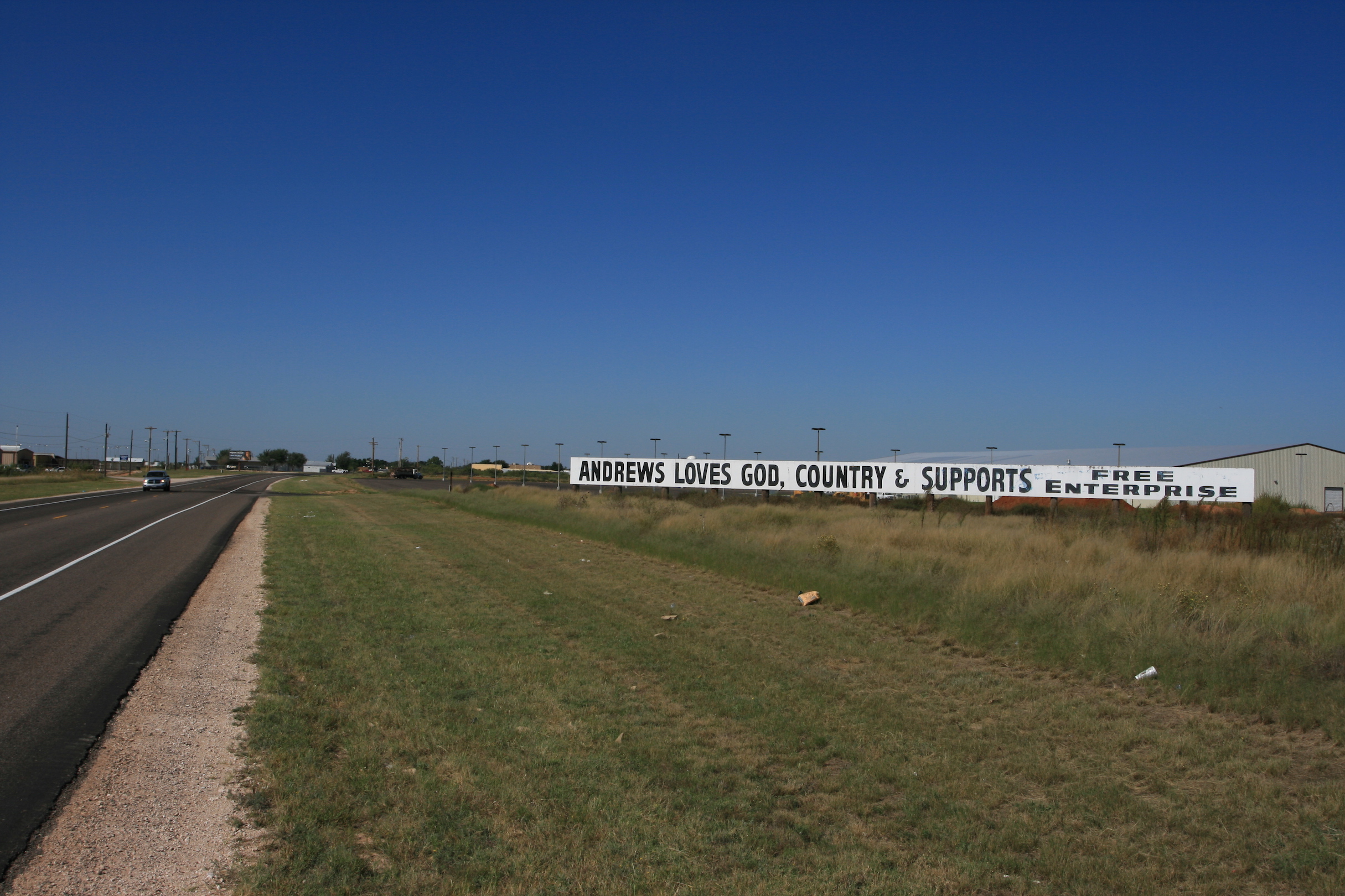
Andrews County, Texas
Photograph Credit: Robert Plocheck.
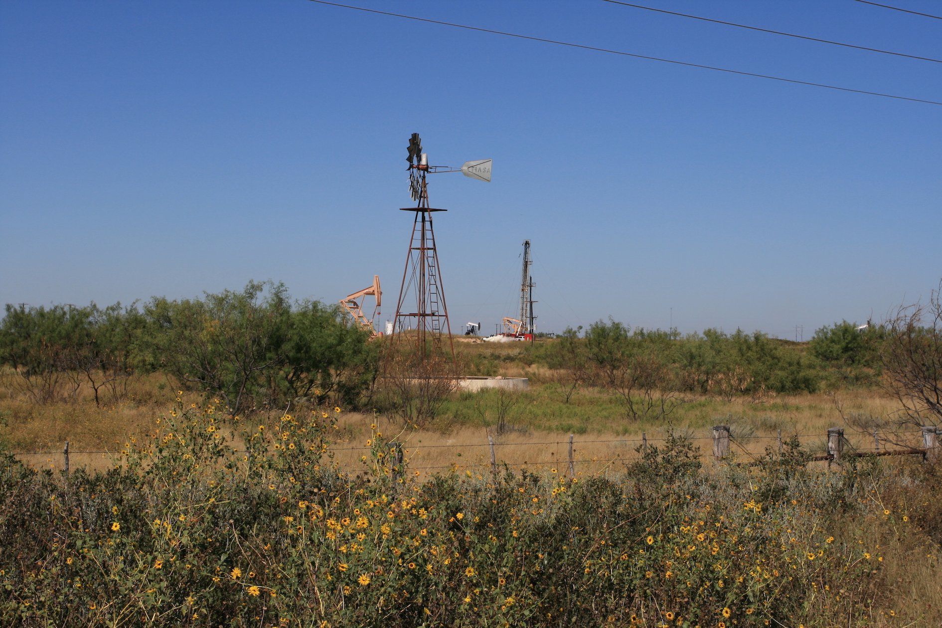
Andrews Count, Texas
Photograph Credit: Robert Plocheck.
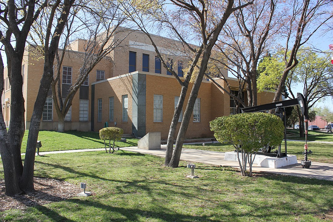
Andrews County, Texas
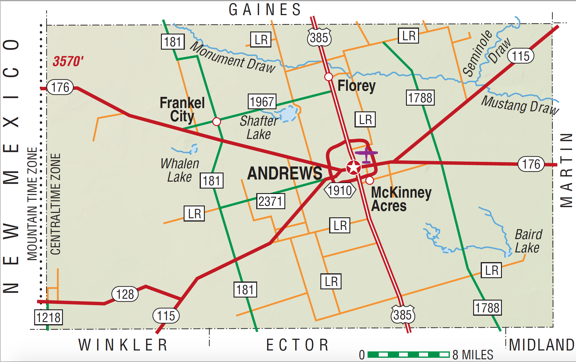
Andrews County, Texas
Andrews County, in the southern High Plains, is bounded on the west by New Mexico, on the north by Gaines County, on the east by Martin County, and on the south by Winkler and Ector counties. The center of the county is at 32°18' north latitude and 102°50' west longitude, 110 miles southwest of Lubbock. Andrews County encompasses 1,504 square miles of level, rolling prairieland typical of the southern High Plains. Sandy soils predominate except in the east, where red clay loam is found. The elevation varies from 3,000 feet in the south to 3,400 feet in the north. The average annual rainfall is 14.37 inches, and temperatures range from a January average minimum of 30°F to a July average maximum of 96°F. The growing season is 213 days. The county's road network includes Highway 385 (north‑south), Highway 176 (west‑east), and Highway 115, which bisects the other roads at Andrews.
Angostura type arrowheads discovered by archeologists indicate the possibility of an aboriginal population as early as 6,000–4,000 B.C., but pottery sherds and other evidence establish occupation by the Anasazi people from around A.D. 900. In more recent times the Apaches and Comanches occupied the region, until the United States Army campaigns of 1874–75 cleared the way for White settlement.
William R. Hunt | © TSHA

Adapted from the official Handbook of Texas, a state encyclopedia developed by Texas State Historical Association (TSHA). It is an authoritative source of trusted historical records.

- ✅ Adoption Status:
- This place is available for adoption! Available for adoption!
- Adopted by:
- Your name goes here
- Dedication Message:
- Your message goes here
Currently Exists
Yes
Place type
Andrews County is classified as a County
Altitude Range
2862 ft – 3570 ft
Size
Land area does not include water surface area, whereas total area does
- Land Area: 1,500.7 mi²
- Total Area: 1,501.1 mi²
Temperature
January mean minimum:
30.7°F
July mean maximum:
94.8°F
Rainfall, 2019
14.7 inches
Population Count, 2019
18,705
Civilian Labor Count, 2019
9,881
Unemployment, 2019
10.0%
Property Values, 2019
$5,154,109,977 USD
Per-Capita Income, 2019
$50,011 USD
Retail Sales, 2019
$265,333,504 USD
Wages, 2019
$145,662,089 USD
County Map of Texas
Andrews County
- Andrews County
Places of Andrews County
| Place | Type | Population (Year/Source) | Currently Exists |
|---|---|---|---|
| Town | 13,370 (2021) | Yes | |
| Town | – | – | |
| Town | – | – | |
| Town | – | – | |
| Town | – | – | |
| Town | – | – | |
| Town | 25 (2009) | Yes | |
| Town | 2 (2009) | Yes | |
| Town | – | – | |
| Town | – | – | |
| Town | – | – | |
| Town | – | – | |
| Town | 842 (2021) | Yes | |
| Town | – | – | |
| Town | – | – | |
| Town | – | – | |
| Town | – | – |

Proud to call Texas home?
Put your name on the town, county, or lake of your choice.
Search Places »

