Texas Environment
Topics in Environment |
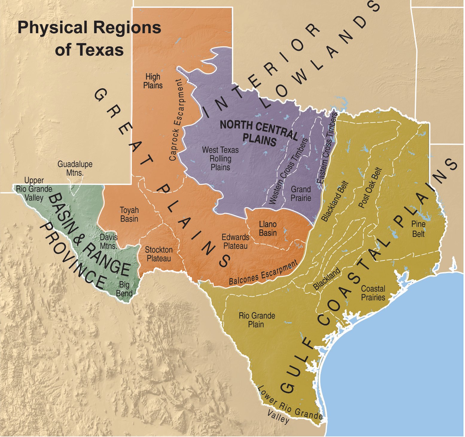
Extending from sea level at the Gulf of Mexico to over 8,000 feet in the Guadalupe Mountains of far West Texas and from the semitropical Lower Rio Grande Valley to the High Plains of the Panhandle, Texas has a natural environment best described as "varied." Below is a summary of the size, the boundaries, the highs and the lows of the state.
Area of Texas
Texas occupies about 7 percent of the total water and land area of the United States. Second in size among the states, Texas has a land and water area of 268,596 square miles as compared with Alaska's 665,384 square miles, according to the U.S. Census 2010 calculations. California, third largest state, has 163,695 square miles. Texas is as large as all of New England, New York, Pennsylvania, Ohio and North Carolina combined. The state's area consists of 261,232 square miles of land and 7,364 square miles of water.
Length and Breadth of Texas
The longest straight-line distance in a general north-south direction is 801 miles from the northwest corner of the Panhandle to the extreme southern tip of Texas on the Rio Grande below Brownsville. The greatest east-west distance is 773 miles from the extreme eastward bend in the Sabine River in Newton County to the extreme western bulge of the Rio Grande just above El Paso.
Geographic Center of Texas
The geographic center of Texas is about 15 miles northeast of Brady in northern McCulloch County.
Texas' Boundary Lines
The boundary of Texas by segments, including only larger river bends and only the great arc of the coastline, is as follows:
| Rio Grande Coastline (tidewater) Sabine River, Lake and Pass Sabine River to Red River Red River Eastern Panhandle line Northern Panhandle line Western Panhandle line Along 32nd parallel Total | 889.0 miles 367.0 miles 180.0 miles 106.5 miles 480.0 miles 133.6 miles 167.0 miles 310.2 miles 209.0 miles 2,842.3 miles |
Following the smaller meanderings of the rivers and the tidewater coastline, the following are the boundary measurements:
| Rio Grande Coastline (tidewater) Sabine River, Lake and Pass Red River The five unchanged line segments above Total | 1,254 miles 624 miles 292 miles 726 miles 926 miles 3,822 miles |
Latitude and Longitude of Texas
The extremes of latitude and longitude are as follows: From Latitude 25° 50' N. at the extreme southern turn of the Rio Grande on the south line of Cameron County to Latitude 36° 30' N. along the north line of the Panhandle, and from Longitude 93° 31' W. at the extreme eastern point on the Sabine River on the east line of Newton County to Longitude 106° 38' W. on the extreme westward point on the Rio Grande above El Paso.
Altitudes of Texas Places
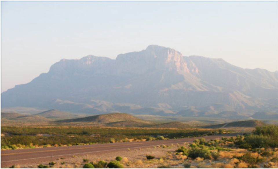
The highest point in the state is Guadalupe Peak at 8,749 feet above sea level. Its twin, El Capitan, stands at 8,085 feet and also is located in Culberson County near the New Mexico state line. Both are in Guadalupe Mountains National Park. These elevations and the others in this article have been determined by the U.S. Geological Survey.
The named peaks above 8,000 feet are listed below. (All are in Culberson County, except Mount Livermore, which is in Jeff Davis County).
| Guadalupe Peak Bush Mountain Shumard Mountain Bartlett Mountain Mount Livermore (Baldy Peak) Hunter Peak (Pine Top Mountain) El Capitan | 8,749 8,631 8,615 8,508 8,378 8,368 8,085 |
Fort Davis in Jeff Davis County is the highest town of any size in Texas at 5,050 feet, and the county has the highest average elevation.
The highest point on state highways, 6,781 feet, is also in the county at McDonald Observatory at the end of a tap from State Highway 118.
The highest railway point is Paisano Pass, 14 miles east of Marfa in Presidio County.
Sea level is the lowest elevation determined in Texas, and it can be found in all the coastal counties. No point in the state has been found by the geological survey to be below sea level.


