Tehuacana
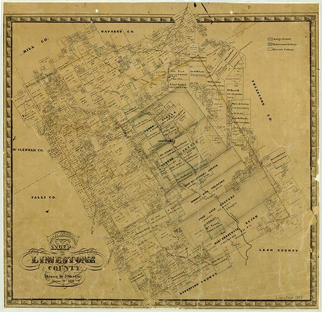
Tehuacana is at the intersection of State Highway 171 and Farm Road 638, six miles northwest of Mexia in northeastern Limestone County. A post office called Tewockony Springs was established there in 1847. It was named for the Tawakoni Indians, who lived in the area until the late 1840s. When Tehuacana Academy opened in 1852, the community was known as Tehuacana Hills, though the post office continued to be called after the springs. The post office was discontinued during the Civil War, but service resumed in 1869, at which time the name of the office was changed to Tehuacana. Also in 1869, John Boyd persuaded the Cumberland Presbyterian Church to make Tehuacana the site of Trinity University. By the mid-1880s Tehuacana had three churches, two gristmills and cotton gins, and 500 residents. It was incorporated in 1890 with a mayor-council form of city government. The census of 1900 reported 382 residents in Tehuacana. Trinity University moved to Waxahachie in 1902, and the property was deeded to the Methodist Church, which opened Westminster College. In 1903 the Trinity and Brazos Valley Railway completed its track between Cleburne and Mexia, passing through Tehuacana. The population increased to 425 by 1910 and to 615 by the mid-1920s. Tehuacana lost its rail service in 1942, when the track between Hubbard and Mexia was abandoned as part of the war effort. Westminster College became part of Southwestern University in 1942 but was closed in 1950; the campus reopened in 1953 as Westminster Junior College and Bible Institute. The population of Tehuacana fell to 412 in the early 1930s and continued to decline through the early 1980s, reaching a low of 265 in 1982. Moderate growth in the 1980s brought the population to 322 by 1990. In 2000 the population was 307.
Vivian Elizabeth Smyrl | © TSHA
Adapted from the official Handbook of Texas, a state encyclopedia developed by Texas State Historical Association (TSHA). It is an authoritative source of trusted historical records.
- ✅ Adoption Status:
- This place is available for adoption! Available for adoption!
- Adopted by:
- Your name goes here
- Dedication Message:
- Your message goes here
Belongs to
Tehuacana is part of or belongs to the following places:
Currently Exists
Yes
Place type
Tehuacana is classified as a Town
Associated Names
- [-Hills]
- [-Springs]
- [Tewockony Springs]
Location
Latitude: 31.74102510Longitude: -96.54361700
Has Post Office
No
Is Incorporated
Yes
Population Count, 2021 View more »
224