Sheridan
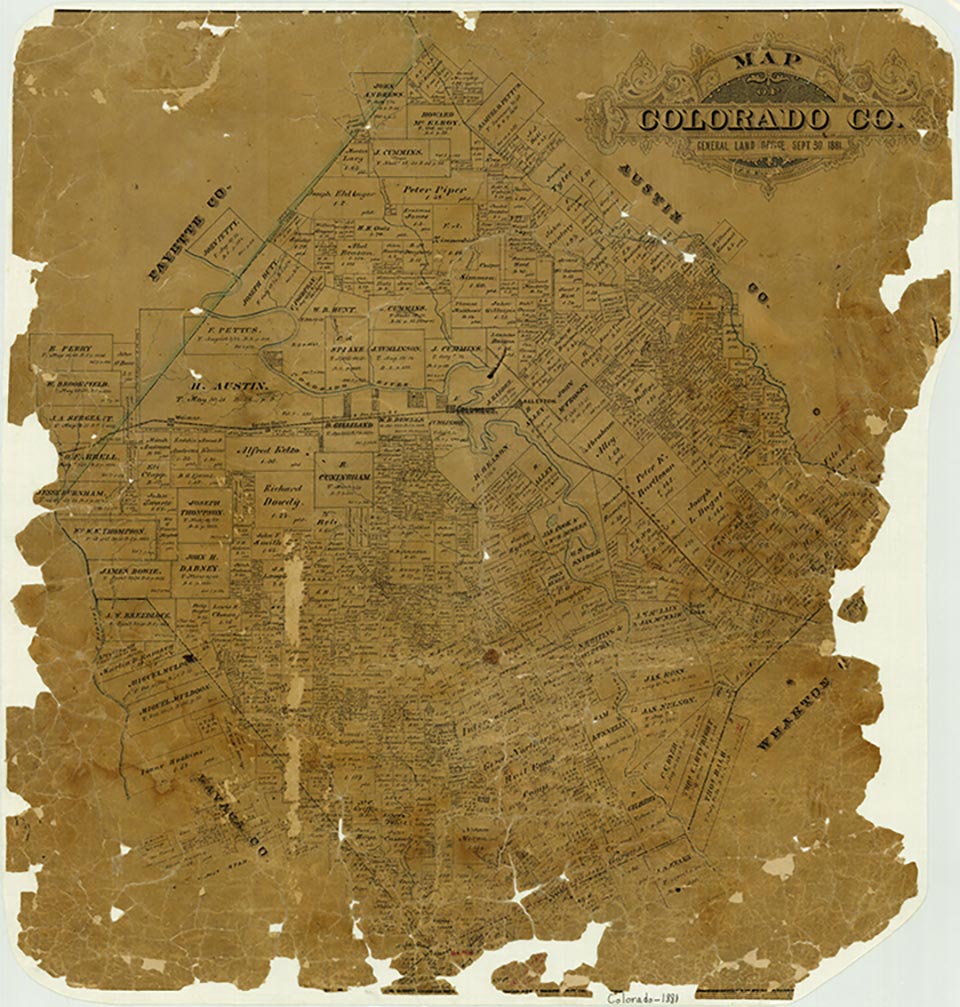
Sheridan is on U.S. Highway 90-A and the Middle and West forks of Sandy Creek, near the southwestern boundary of Colorado County. Although it was developed as a farming community, it now derives most of its income from cattle ranching and from the Sheridan oil and gas field. The town dates from 1908, when Hugh Sheridan, from whom the town got its name, sold extensive acreage to the San Antonio Loan and Securities Company. The company, in turn, entered into an agreement with the San Antonio and Aransas Pass Railway to develop the town and promote the sale of lots and small farms. In September 1908 a post office was established with Mrs. Lea A. Scott as postmistress. The plat of the town was recorded in the Colorado county clerk's office in 1909, and on March 6 of that year a hotel was completed to accommodate prospective buyers. Sheridan was widely advertised in the Midwest, and the town grew and prospered. The foremost crop at the time was figs, and the Sheridan Fig Preserving Company shipped crates by rail throughout the United States. Other popular crops included cucumbers, melons, potatoes, and strawberries. The post office moved briefly to nearby Cheetham in 1912 but was returned in a few months to Sheridan, which by 1914 had 150 residents and several businesses. After several false starts the Shell Oil Company brought in a gas-producing discovery well in 1940 in what became the Sheridan oil and gas field. The use of the land for farming declined steeply. Termination of rail service following World War II coincided with the improvement of U.S. Highway 90-A, and the town suffered little in consequence. In 1986 Sheridan had a population of 225 served by seventeen businesses and was noted for its cattle production, its oil and gas field, and the excellent deer hunting in the surrounding area. Through 2000 the population was still recorded at 225.
Jeff Carroll | © TSHA
Adapted from the official Handbook of Texas, a state encyclopedia developed by Texas State Historical Association (TSHA). It is an authoritative source of trusted historical records.
- ✅ Adoption Status:
- This place is available for adoption! Available for adoption!
- Adopted by:
- Your name goes here
- Dedication Message:
- Your message goes here
Belongs to
Sheridan is part of or belongs to the following places:
Currently Exists
Yes
Place type
Sheridan is classified as a Town
Associated Names
- (Cheetham)
Location
Latitude: 29.49357430Longitude: -96.67108540
Has Post Office
Yes
Is Incorporated
No
Population Count, 2021 View more »
398