Sandy Point
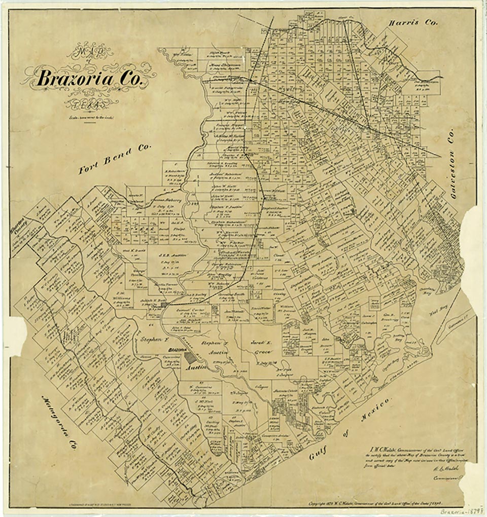
Sandy Point was a farming community at the entrance to Darrington State Prison Farm, on the Missouri Pacific line and State Highway 288 seventeen miles northwest of Angleton in north central Brazoria County. Sandy Point Cemetery, on land that was once part of a sugar and cotton plantation, includes graves of soldiers from the Texas Revolution, the Mier Expedition, and the Civil War. The local post office operated from 1854 until sometime after 1930. As early as 1884 the community shipped sugar, molasses, and cotton and had two general stores, several sugar mills and cotton gins, and a population of 250. In 1906 Sandy Point had one White school with one teacher and four pupils and two Black schools with two teachers and sixty-eight pupils; these schools had been consolidated with the Angleton Independent School District by 1948. Rice farms and cattle ranches eventually replaced the cotton and sugar plantations of the antebellum Texas era. The population of Sandy Point fell to 100 by 1914 but rose to 200 by 1925 and remained at that level until after World War II, when residents began to leave. In the 1930s the community had a church, a school, and scattered dwellings; the Sandy Point oilfield was nearby. Only ninety residents remained by the late 1940s, and the population had dropped to thirty by 1970. The 1974 county highway map showed Woods Cemetery, Sandy Point Cemetery, and the Pilgrim Church within a mile of the townsite. In 2000 the population was still listed as thirty.
Diana J. Kleiner | © TSHA
Adapted from the official Handbook of Texas, a state encyclopedia developed by Texas State Historical Association (TSHA). It is an authoritative source of trusted historical records.
- ✅ Adoption Status:
Belongs to
Sandy Point is part of or belongs to the following places:
Currently Exists
Yes
Place type
Sandy Point is classified as a Town
Location
Latitude: 29.38551700Longitude: -95.48105320
Has Post Office
No
Is Incorporated
Yes
Population Count, 2021 View more »
212