Sand Springs
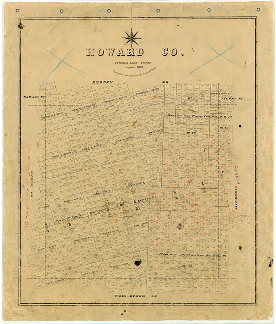
Sand Springs is on Interstate Highway 20, U.S. Highway 80, and the Missouri Pacific Railroad, near Sand Springs Creek, for which it is named, eight miles east of Big Spring in east central Howard County. It developed in the late 1930s, beginning as several gas stations and grocery stores along the road. Sand Springs Baptist Church and Sand Springs Church of Christ were both organized in the early 1940s. By the end of the decade the community had several businesses and a cluster of homes. A move to incorporate the town and rename it Howard City failed in 1960. In 1968 the community had an estimated population of 903, and the service road along Interstate 20 was lined with a variety of businesses. In the 1970s Sand Springs had two churches and a number of businesses and dwellings, and its population was still reported as 903 through 2000.
Mark Odintz | © TSHA

Adapted from the official Handbook of Texas, a state encyclopedia developed by Texas State Historical Association (TSHA). It is an authoritative source of trusted historical records.

- ✅ Adoption Status:
- This place is available for adoption! Available for adoption!
- Adopted by:
- Your name goes here
- Dedication Message:
- Your message goes here
Belongs to
Sand Springs is part of or belongs to the following places:
Currently Exists
Yes
Place type
Sand Springs is classified as a Town
Location
Latitude: 32.28261980Longitude: -101.35095590
Has Post Office
No
Is Incorporated
No
Population Count, 2021 View more »
953

