Quintana
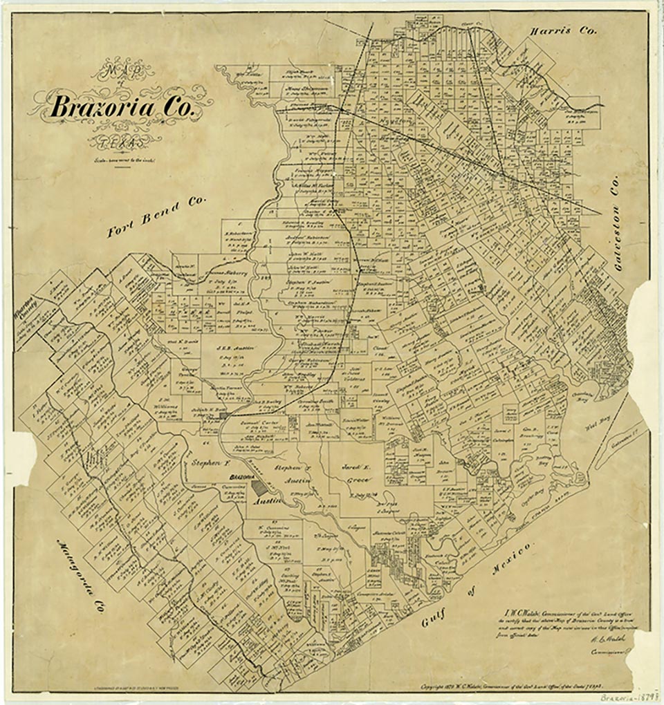
Quintana is on the west side of the mouth of the Brazos River and on Farm roads 1495 and 723, directly across the Brazos River Harbor channel from Surfside, two miles southeast of Freeport in Brazoria County. It is believed to have been named for Mexican general Andrés Quintana. A Mexican fort was built there soon after Mexican independence, and Quintana was a major seaport for Austin's colony. The firm of McKinney, Williams, and Company was established there in the early days of Austin's colony. Quintana was described variously in the latter half of the 1830s as one of the most delightful places in the country and as a place of "shanties and a mixed population of Yankees, Mexicans, and Indians." Other accounts mention a hotel, a pavilion, pool halls, and dance halls. A post office was established in 1853 but closed in 1857. It reopened in 1891 and closed in 1915. In antebellum Texas Quintana was a favorite vacation spot for plantation families; it had a row of fine homes along the ridge of the beach. A narrow wagon road built of hard red brick not made in Texas was found there after the 1913 flood and then hidden two years later by silt from another flood. As the site of a Confederate fort during the Civil War, Quintana was bombarded by federal gunboats. A dam was placed across the mouth of the Brazos to keep the boats from coming up the river. From 1879 to 1881 the Kanter family was under contract to build the jetties at Quintana. Brush cut nearby was barged there and woven into "mattresses" that were weighted and submerged as a foundation for concrete blocks made of beach sand and Portland cement. The Kanters failed to complete the work, and in 1889 the Farwell Syndicate built the jetties with Texas granite. In 1989 a project was under way to replace the jetties and widen and deepen the channel. Varied industries have come and gone-a cattle hide and tallow operation, a pickled-beef factory, an elevator that loaded coal onto ships, a cottonseed oil and cake mill, the only shipyard west of New Orleans before the Civil War, and even a cork plantation. Quintana was a stop on the Columbia-to-Galveston mail route during the Republic of Texas era. Like that of many towns, Quintana's decline resulted from two factors-storms and progress. In the Galveston hurricane of 1900, the coastline of Brazoria County was virtually wiped clean, and most of the families then living at Quintana moved farther inland or left the area entirely. In addition, construction of the Gulf Intracoastal Waterway meant a loss of shipping income, which had been the economic mainstay of both Quintana and her sister city, Old Velasco. Quintana is a popular destination for beachgoers and is the site of a well-equipped Brazoria county park. In 1990 Quintana had a population of fifty-three. The population was thirty-eight in 2000.
Marie Beth Jones | © TSHA
Adapted from the official Handbook of Texas, a state encyclopedia developed by Texas State Historical Association (TSHA). It is an authoritative source of trusted historical records.
- ✅ Adoption Status:
- This place is available for adoption! Available for adoption!
- Adopted by:
- Your name goes here
- Dedication Message:
- Your message goes here
Belongs to
Quintana is part of or belongs to the following places:
Currently Exists
Yes
Place type
Quintana is classified as a Town
Associated Names
- [Quintanna]
- (Velasco 2)
- (Brazosport)
Location
Latitude: 28.93512310Longitude: -95.30608000
Has Post Office
No
Is Incorporated
Yes
Population Count, 2021 View more »
25