La Pryor
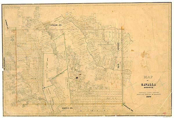
La Pryor is on the Missouri Pacific tracks at the intersection of U.S. highways 83 and 57, four miles west of the Nueces River in northwestern Zavala County. It was named for Col. Isaac (Ike) T. Pryor, who in the 1880s owned a large ranch that included the site of the community. There was an attempt to colonize the area at a proposed townsite known as Nuvalco (an acronym for Nueces Valley Colonization Company) six miles north of the site of present La Pryor. The attempt failed, and the property was sold to the Western Livestock and Land Company, which eventually sold the property to Ike Pryor around 1880. Pryor formed the Zavala Land and Water Development Company and marketed small farm units from a 30,000-acre section of his holdings west of the Nueces River. He made a deal with the Crystal City and Uvalde Railway in 1909 to construct a depot, switch, and cattle-unloading station at the site where La Pryor had been platted. Prospective buyers, lured by extensive advertising, arrived from throughout the country on organized train excursions to view the land and observe the exceptional variety of produce cultivated on J. W. Adams's experimental farm south of the townsite. Their numbers grew so large that many slept on the train and dined at a brush arbor hastily erected on the east side of town. A post office was established in the community in 1910. Farmers laboriously cleared their twenty-to-160-acre plots; dryland farming produced cotton, milo, corn, small grains, and red-top cane for hay. Early in 1910 the community had several general stores, a blacksmith shop, and the spacious three-level Nueces Hotel. La Pryor High School was constructed in 1912.
La Pryor quickly prospered, and by 1914 some of the county's first automobiles and telephones were in use in the community of around 500. The town included Baptist, Christian, Lutheran, and Methodist congregations, a cotton gin, a bank, and a weekly publication called the Zavala County Sentinel. St. Joseph's Catholic Church was constructed in 1918. In the 1920s the Zavala Land and Water Company closed. In the same period Kate Stout, operator of the La Pryor telephone service, became Zavala County's first woman to hold elective office, when she was chosen county treasurer. Drought devastated many ranches around La Pryor in the 1930s and may also have been responsible for the recurring visits of herds of wild donkeys to the town. Natural gas was discovered in the La Pryor area in the 1930s. The La Pryor New Era was published by Austin Campbell during the 1930s and 1940s. During the late 1930s La Pryor had an estimated population of 450, roughly two-thirds Anglo-American and one-third Mexican-American. There were two schools for Mexican-American students and a combination high school and grammar school for Anglo-Americans. By 1946 La Pryor had an estimated population of 500 and seventeen businesses. Products marketed by local vegetable-packing sheds and cattle shipped by local ranchers contributed to increased rail activity in La Pryor during the 1940s. The population remained about 500 throughout the 1950s but more than doubled to an estimated 1,100 by 1966. During this period La Pryor was the rail terminus for substantial asphalt shipments from mines in southwestern Uvalde County. In 1969 the last sizable herd of cattle, numbering around 800 steers, was shipped by the Chaparossa Ranch from cattle pens at La Pryor. The town's population had dropped to 550 by 1970; the sharp rise in population during the 1960s may have been the result of movement to the La Pryor area from Crystal City, which had substantial racial and political upheaval during that decade. A new high school was constructed at La Pryor in 1977. Throughout the 1970s and 1980s La Pryor maintained an estimated population of 550; nineteen business were operating in the community in 1989. In 1990 the population was reported as 1,343. The population was 1,491 in 2000.
Ruben E. Ochoa | © TSHA
Adapted from the official Handbook of Texas, a state encyclopedia developed by Texas State Historical Association (TSHA). It is an authoritative source of trusted historical records.
- ✅ Adoption Status:
- This place is available for adoption! Available for adoption!
- Adopted by:
- Your name goes here
- Dedication Message:
- Your message goes here
Belongs to
La Pryor is part of or belongs to the following places:
Currently Exists
Yes
Place type
La Pryor is classified as a Town
Location
Latitude: 28.94108140Longitude: -99.84978010
Has Post Office
Yes
Is Incorporated
No
Population Count, 2021 View more »
973