Fresno
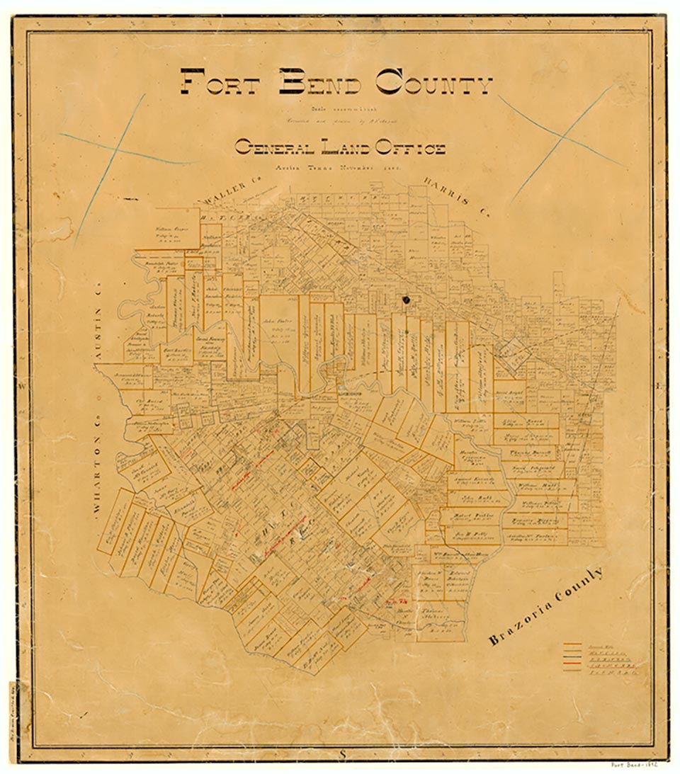
Fresno is on Farm Road 521 twenty miles northeast of Richmond in northeastern Fort Bend County. A settler from Fresno, California, reportedly chose the name. The town is on land patented in 1824, once surrounded by cotton plantations. Fresno acquired a post office in 1910. In 1914 it had a telephone connection, a general store, a hardware store, and a population of thirty-two. By 1933 the town had only ten inhabitants and one business. In 1936 it had three rows of dwellings on both sides of a paved highway and was served by the International-Great Northern Railroad. By 1946 the population had risen to 100, a level maintained throughout the 1960s. In 1970 the figure had increased to 120; two years later it had grown to 161. During the 1970s and 1980s the population of Fresno increased more rapidly as the area was affected by growth of Houston. Fresno had a population of 3,182 in 1990 and 6,603 in 2000.
Stephen L. Hardin | © TSHA
Adapted from the official Handbook of Texas, a state encyclopedia developed by Texas State Historical Association (TSHA). It is an authoritative source of trusted historical records.
- ✅ Adoption Status:
- This place is available for adoption! Available for adoption!
- Adopted by:
- Your name goes here
- Dedication Message:
- Your message goes here
Belongs to
Fresno is part of or belongs to the following places:
Currently Exists
Yes
Place type
Fresno is classified as a Town
Associated Names
- (Malvern)
- (Riceton)
Location
Latitude: 29.53884650Longitude: -95.44744140
Has Post Office
Yes
Is Incorporated
No
Population Count, 2021 View more »
23,921