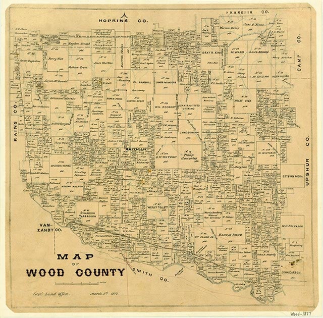
Cottonwood
Cottonwood, on Farm Road 779 three miles northwest of Golden in southwestern Wood County, was probably named for nearby Cottonwood Creek. It was originally located a mile southeast of its present site, and in the 1970s the Cottonwood cemetery still marked the community's original site. In 1884 a Cottonwood school district was established, and by 1896 it served twenty-seven students. By 1905 it served fifty-nine students. In the 1930s the community consisted of a number of farms concentrated along country roads, two businesses, and a school that in 1932 had seventy students in eight grades. Though the school and businesses no longer appeared on maps for 1959, the Cottonwood church and widely scattered dwellings were still in the area. Maps for the late 1980s showed a business about half a mile from the church.
Rachel Jenkins | © TSHA
Adapted from the official Handbook of Texas, a state encyclopedia developed by Texas State Historical Association (TSHA). It is an authoritative source of trusted historical records.
- ✅ Adoption Status:
- This place is available for adoption! Available for adoption!
- Adopted by:
- Your name goes here
- Dedication Message:
- Your message goes here
Belongs to
Cottonwood is part of or belongs to the following places:
Currently Exists
No
Place type
Cottonwood is classified as a Town
Location
Latitude: 32.74068350Longitude: -95.60940350
Has Post Office
No
Is Incorporated
No