Cloverhill

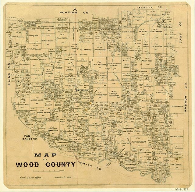
Cloverhill (Clover Hill, Clover Hill Church) is on Farm Road 69 five miles northeast of Quitman in north central Wood County. In 1856 the area was settled by families from Georgia and Alabama, who the next year built the Clover Hill Baptist Church on a hill covered with yellow clover. Before a school was established in the community, local children attended classes at Pleasant Grove, seven miles to the north. Another Clover Hill Baptist Church was reportedly organized in 1886, and by 1896 Clover Hill had a public school with thirty-one students. By 1911 the community also had two sawmills, a store, and a cotton gin. In 1917 the local school was destroyed by a storm, and in 1918 a new one was built. The cotton gin was closed around 1925, and by the mid-1930s Clover Hill comprised a church, a cemetery, two businesses, and a number of dwellings concentrated along the roads. In 1943 Bobby Manziel made the fourth major oilfield discovery in Wood County just a mile north of the community. The Manziel field, which led to a brief boom at Clover Hill, for a time produced a large percentage of Wood County's total oil output and was still in operation in 1988. Around the same time as the oilfield discovery Clover Hill received telephone and electric service. In 1944 the community's school was consolidated with the Quitman schools, and by 1960 all that remained at Cloverhill (now spelled as one word on maps) was the church and cemetery and a few widely scattered dwellings. The community did not grow significantly after Dry Creek was dammed in 1961–62 to form Lake Quitman, less than a mile to the northwest.
Rachel Jenkins | © TSHA

Adapted from the official Handbook of Texas, a state encyclopedia developed by Texas State Historical Association (TSHA). It is an authoritative source of trusted historical records.

- ✅ Adoption Status:
Belongs to
Cloverhill is part of or belongs to the following places:
Currently Exists
No
Place type
Cloverhill is classified as a Town
Associated Names
- [Clover Hill]
- [-Church]
Location
Latitude: 32.86234720Longitude: -95.42272880
Has Post Office
No
Is Incorporated
No
