Agua Dulce

Agua Dulce, Texas

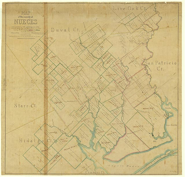
Agua Dulce is located on the Texas Mexican Railway at the intersection of Farm Road 70 and State Highway 44 in west central Nueces County. The name, Spanish for "sweet water," refers to a nearby creek. The settlement existed by the 1900s. In August 1908 the post office was established with James L. Petray as postmaster. In 1910 the Agua Dulce Independent School District was founded; Sophinia Thompson was the first teacher. The school system was consolidated with that of Bentonville in 1932. Agua Dulce profited from an oil boom in the 1930s. The first seismographic survey done in Nueces County was done in Agua Dulce by E. E. Rosaire. Several gas wells are located there, as well as the Agua Dulce oilfield, which was opened in 1928. In 1914 the population of Agua Dulce was 100, and the town had a general store, a lumber mill, a cotton gin, a blacksmith, a confectioner, and a grocer. Between 1940 and 1945 the population increased from 200 to 750. In 1961 thirty businesses were in operation. In 1990 the population was 794, and in 2000 the population had declined somewhat to 737.
Robin Dush | © TSHA
Adapted from the official Handbook of Texas, a state encyclopedia developed by Texas State Historical Association (TSHA). It is an authoritative source of trusted historical records.
- ✅ Adoption Status:
- This place is available for adoption! Available for adoption!
- Adopted by:
- Your name goes here
- Dedication Message:
- Your message goes here
Belongs to
Agua Dulce is part of or belongs to the following places:
Currently Exists
Yes
Place type
Agua Dulce is classified as a Town
Location
Latitude: 27.78269250Longitude: -97.90991300
Has Post Office
Yes
Is Incorporated
Yes
Population Count, 2021 View more »
688