Ace
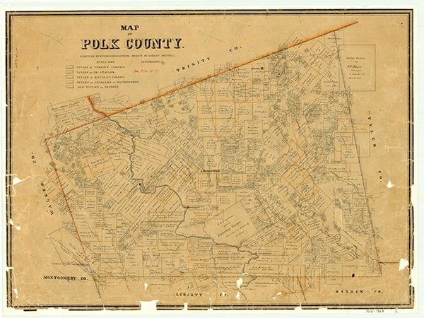
Ace is on Farm Road 2610 seventy-five miles northeast of Houston in south central Polk County. In 1830 Samuel C. Hiroms established a community called Smithfield about a mile south of the present site of Ace. The settlement, a stopping point on the Liberty-Nacogdoches road, was originally known as Smith's Field, after an early settler named Robert Smith. A group of Coushatta Indians lived nearby. The town was moved nearer its present location in 1840 and became a steamboat landing on the Trinity River. Several sawmills were established, and the post office existed by 1840. Yet the community remained small, as other riverports captured the steamboat trade. In 1871 the post office was discontinued. However, a new post office was opened in 1915, named Ace after its postmaster, Ace Emanuel. Oil was found in the area in 1952, and more substantial returns were made from discoveries in 1969. The population, estimated to be twenty-five in the mid-1940s, grew to forty by the early 1970s and remained at that level through 2000.
Robert Wooster | © TSHA
Adapted from the official Handbook of Texas, a state encyclopedia developed by Texas State Historical Association (TSHA). It is an authoritative source of trusted historical records.
- ✅ Adoption Status:
- This place is available for adoption! Available for adoption!
- Adopted by:
- Your name goes here
- Dedication Message:
- Your message goes here
Belongs to
Ace is part of or belongs to the following places:
Currently Exists
Yes
Place type
Ace is classified as a Town
Associated Names
- (Coshatte Bluff)
- (Geneva)
- (Hirams')
- (Smithfield)
Location
Latitude: 30.53631520Longitude: -94.82437440
Has Post Office
Yes
Is Incorporated
No
Population Count, 2009
40