Loving County

Loving County, Texas
Photograph Credit: Robert Plocheck.

Loving County, Texas.

Loving County, Texas
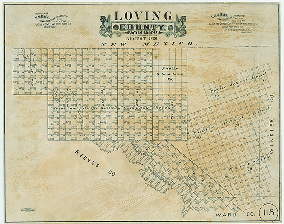
Loving County, the smallest county in the Permian Basin of West Texas, is bounded on the east by Winkler County, on the south by Ward County, on the west by the Pecos River and Reeves County, and on the north by Eddy and Lea counties, New Mexico. The center of the county lies at 31°50' north latitude and 103°35' west longitude. Mentone, the county seat and only town in the county, is located in its southwestern corner seventy-five miles west of Odessa. Loving County consists of 671 square miles of flat desert terrain with a few low-rolling hills stretching over calichified bedrock and wash deposits of pebbles, gravel, and sand. The soils of the county-loams, chalk, clays, and sands-support desert shrubs, cacti, range grasses, and salt cedars along the river. Wildlife includes waterfowl, quail, deer, badgers, javelinas, rabbits, bobcats, coyotes, armadillos, skunks, opossums, raccoons, rattlesnakes, killifish, brine shrimp, and turtles. Elevations vary from 2,686 to 3,311 feet above sea level. Temperatures vary from an average low of 29° F in January to an average high of 96° in July. The growing season lasts 222 days. Rainfall averages just over ten inches. The county has an immature drainage system made up of hundreds of playas and dry draws that feed into the Pecos only after heavy rainfall. In 1936 Red Bluff Dam was built across the Pecos on the Texas-New Mexico boundary for irrigation and recreation. Water from the Pecos, however, is too saline for drinking, so the 100 residents of the county haul water from a community tank.
In the prehistoric era, springs of pure water dotted the landscape and supported nomadic hunters and their prey. Antonio de Espejo crossed the area in 1583, fording the then-mighty Pecos at great risk. In 1854 Capt. John Pope surveyed the area for a railroad route. Convinced that he could drill artesian wells there, he returned in 1855 and located Pope's Camp fifteen miles east of the mouth of Delaware Creek in northwestern Loving County. After three years of unsuccessful attempts, he and his men abandoned the camp. The Butterfield Overland Mail ran a stage station at Pope's Camp from 1858 until 1861. From 1837 to 1874 the area of Loving County was part of the Bexar land district. In 1874 the Texas legislature separated Tom Green County from the Bexar District. In 1887 Loving County was separated from Tom Green County, but it remained attached to Reeves County for judicial purposes. It was named for Oliver Loving, an early Texas cattleman who was mortally wounded by Indians on the Pecos in the area of the county as he rode in advance of his herd in 1866. Loving County is the only Texas county to be organized twice. The first organization appears to have been a scheme to defraud on the part of the organizers. Early in 1893 six men from Denver, Colorado, organized the Loving Canal and Irrigation Company of Mentone, Texas, with the stated purpose of migrating to isolated Loving County and constructing an irrigation canal from the Pecos to surrounding farmland. Although the 1890 United States census reported a population of only three in Loving County, on June 13, 1893, the organizers of the canal company filed a petition with the Reeves County Commissioners Court signed by 150 allegedly qualified voters who requested separate organization for Loving County. The court approved the petition and allowed the organization of the county. A county election was held on July 8, 1893, eighty-three votes were reported, and county organization was approved. Mentone, a town laid out by the company organizers twelve miles north of the present Mentone, was designated the county seat. Irrigation company organizers and several nonresidents were elected to county offices.
Julia Cauble Smith | © TSHA
Adapted from the official Handbook of Texas, a state encyclopedia developed by Texas State Historical Association (TSHA). It is an authoritative source of trusted historical records.
- ✅ Adoption Status:
Currently Exists
Yes
Place type
Loving County is classified as a County
Altitude Range
2660 ft – 3374 ft
Size
Land area does not include water surface area, whereas total area does
- Land Area: 668.9 mi²
- Total Area: 676.7 mi²
Temperature
January mean minimum:
29.7°F
July mean maximum:
99.3°F
Rainfall, 2019
12.6 inches
Population Count, 2019
96
Civilian Labor Count, 2021
307
Unemployment, 2019
0.7%
Property Values, 2020
$8,971,199,795 USD
Per-Capita Income, 2019
$53,734 USD
Retail Sales, 2019
$8,147,312 USD
Wages, 2020
$2,627,180 USD
County Map of Texas
Loving County
- Loving County
Places of Loving County
| Place | Type | Population (Year/Source) | Currently Exists |
|---|---|---|---|
| Town | – | – | |
| Town | – | – | |
| Town | – | – | |
| Town | 8 (2021) | Yes | |
| Town | – | – | |
| Town | – | – | |
| Lake | – | Yes | |
| Town | – | – |
Proud to call Texas home?
Put your name on the town, county, or lake of your choice.
Search Places »