Kleberg County

Kleberg County, Texas

Kleberg County, Texas
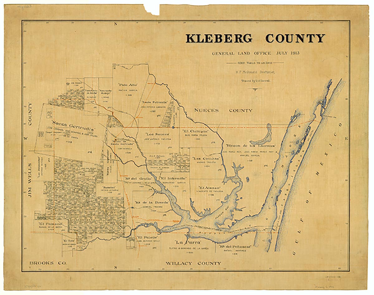
Kleberg County is south of Corpus Christi on U.S. Highway 77 in the Rio Grande Plain region of South Texas. The county's center is at approximately 27°50' north latitude and 98°00' west longitude. Situated on a grassy plain with elevations ranging from sea level to 150 feet, part of the county's 853 square miles lies on the mainland, while the remainder is on Padre Island. A number of creeks, including San Fernando, Santa Gertrudis, Escondido, and Los Olmos, flow into the Callo del Grullo and Baffin Bay in the southeastern section. The county's clay and loam soils are covered in places with such brush as huisache, mesquite, and ebony. Temperatures range from an average January minimum of 48° to an average July maximum of 96°, and the average annual rainfall is 26.5 inches. The growing season is ordinarily 314 days.
When the Spaniards came to the area they found it inhabited by Karankawa and Coahuiltecan Indians, who had occupied the territory for centuries. These groups were primitive food gatherers who subsisted on roots, mesquite beans, prickly pear, and any animals they could kill. The future Kleberg County was part of the Spanish province of Nuevo Santander, which encompassed the area between Tampico, Mexico and the Guadalupe River in Texas. In 1747, Joaquín de Orobio y Basterra led a small party of soldiers across the area that is now Kleberg County, gleaning the first information on the county. A few years later, Spanish authorities founded a number of towns on the banks of the lower Rio Grande, and much of the land north of the river was granted to ranchers from those communities, including large tracts in the future Kleberg County. After Mexico secured her independence in 1821, additional land in the county was granted to various individuals. In 1846, American troops commanded by Gen. Zachary Taylor went through Kleberg County on their way to the Rio Grande. Shortly after the army reached the river, the land that is now in Kleberg County was designated a part of Nueces County; it remained so for many years.
George O. Coalson | © TSHA
Adapted from the official Handbook of Texas, a state encyclopedia developed by Texas State Historical Association (TSHA). It is an authoritative source of trusted historical records.
- ✅ Adoption Status:
Currently Exists
Yes
Place type
Kleberg County is classified as a County
Altitude Range
0 ft – 165 ft
Size
Land area does not include water surface area, whereas total area does
- Land Area: 881.3 mi²
- Total Area: 1,090.2 mi²
Temperature
January mean minimum:
45.8°F
July mean maximum:
95.1°F
Rainfall, 2019
30.4 inches
Population Count, 2019
30,680
Civilian Labor Count, 2019
13,189
Unemployment, 2019
9.6%
Property Values, 2019
$2,300,350,748 USD
Per-Capita Income, 2019
$38,997 USD
Retail Sales, 2019
$445,841,584 USD
Wages, 2019
$131,212,773 USD
County Map of Texas
Kleberg County
- Kleberg County
Places of Kleberg County
| Place | Type | Population (Year/Source) | Currently Exists |
|---|---|---|---|
| Town | – | – | |
| Town | – | – | |
| Town | – | – | |
| Town | 191 (2014) | Yes | |
| Town | 25,069 (2021) | Yes | |
| Town | 195 (2014) | Yes | |
| Town | – | – | |
| Town | 1,041 (2021) | Yes | |
| Town | 675 (2021) | Yes | |
| Town | 155 (2014) | Yes | |
| Town | – | – | |
| Town | 25 (2014) | Yes |
Proud to call Texas home?
Put your name on the town, county, or lake of your choice.
Search Places »