Garza County

Garza County, Texas

Garza County, Texas
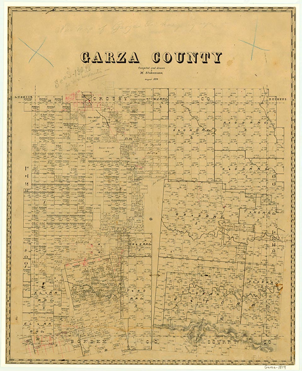
Garza County is in Northwest Texas, partly on the Llano Estacado and partly in the breaks of the lower plains. It is bordered on the north by Crosby County, on the west by Lynn County, on the east by Kent County, and on the south by Borden and Scurry counties. Its center point is 33°10' north latitude and 101°20' west longitude, forty-two miles southeast of Lubbock. The county was named for a pioneer Bexar County family of which José Antonio de la Garza was a well-known member. It covers 914 square miles of rough, broken land drained by tributaries of the Brazos River; elevations vary from 2,100 to 3,000 feet above sea level. The area's sandy, loamy, and clay soils support grass, small mesquite, and thorny scrubs and cacti. The county averages 18.91 inches of rainfall per year and has an average minimum temperature in January of 28° F and an average maximum in July of 95°. The growing season averages 216 days.
Evidences of early man found in Garza County include Clovis spearheads; in 1934 archeologists also discovered the sixteen-foot-long tusk of a prehistoric imperial mammoth. A type of arrowpoint used by hunters before A.D. 1500 was uncovered in the county during the 1960s and named the Garza point. From about 1700 to the 1870s the region was dominated by Kiowas and by Comanches of the Wanderers band, who hunted in the area. These Indians held the Southern Plains for 175 years before yielding to the United States Army in the 1870s.
John Leffler | © TSHA
Adapted from the official Handbook of Texas, a state encyclopedia developed by Texas State Historical Association (TSHA). It is an authoritative source of trusted historical records.
- ✅ Adoption Status:
Currently Exists
Yes
Place type
Garza County is classified as a County
Altitude Range
2140 ft – 3030 ft
Size
Land area does not include water surface area, whereas total area does
- Land Area: 893.4 mi²
- Total Area: 896.2 mi²
Temperature
January mean minimum:
29.0°F
July mean maximum:
94.4°F
Rainfall, 2019
22.0 inches
Population Count, 2019
6,229
Civilian Labor Count, 2019
2,096
Unemployment, 2019
8.3%
Property Values, 2019
$1,029,536,452 USD
Per-Capita Income, 2019
$30,072 USD
Retail Sales, 2019
$26,975,794 USD
Wages, 2019
$22,237,281 USD
County Map of Texas
Garza County
- Garza County
Places of Garza County
| Place | Type | Population (Year/Source) | Currently Exists |
|---|---|---|---|
| Town | – | – | |
| Town | – | – | |
| Town | – | – | |
| Town | 65 (2014) | Yes | |
| Town | – | – | |
| Town | – | – | |
| Town | 60 (2014) | Yes | |
| Town | 5 (2014) | Yes | |
| Town | 45 (2014) | Yes | |
| Lake | – | Yes | |
| Town | – | – | |
| Town | – | – | |
| Town | 5 (2014) | Yes | |
| Town | 4,791 (2021) | Yes | |
| Town | – | – | |
| Town | – | – | |
| Town | 157 (2014) | Yes | |
| Town | – | – |
Photos Nearby:

City of Post, Garza County, Texas
Historic District in downtown Post, the seat of Garza County, Texas. Photograph by Billy Hathorn.

Some boaters enjoying Lake Alan Henry
Photo by ricraider, Public Domain
Proud to call Texas home?
Put your name on the town, county, or lake of your choice.
Search Places »