Frio County

Frio County, Texas

Frio County, Texas
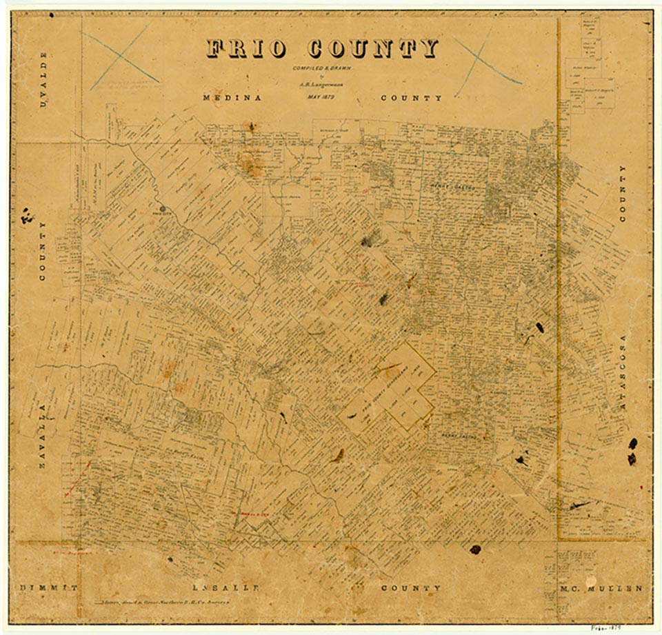
Frio County, in the Winter Garden Region of Southwest Texas, shares its eastern border with Atascosa County, its southern border with La Salle County, its western border with Zavala County, and its northern border with Medina County. The county is named after the Frio River, which flows northwest to southeast through the county. Pearsall, the county seat, is located on the Union Pacific Railroad fifty miles southwest of San Antonio and seventy miles east of the United States-Mexican border at Eagle Pass. Interstate Highway 35 passes north to south through the communities of Moore, Pearsall, and Dilley. The county's center lies two miles southwest of downtown Pearsall, near 28°52' north latitude and 99°07' west longitude. Frio County forms a rectangle thirty-seven miles east and west and thirty miles north and south; it comprises 719,360 acres or 1,133 square miles. The county is in the Nueces River basin and is drained by the Frio and Leona rivers in the west and by San Miguel Creek in the east.
The county terrain of flat to slightly undulating plains is surfaced by deep to moderately deep, light-colored loam and underlain by limestone and calcareous to neutral clayey subsoils. Hickory, oak, brush, mesquite, huisache, prickly pear, and grasses predominate in the flora. Elevations average 600 feet above sea level and range from 400 feet in far south central Frio County to 800 feet at the summit of Pilot Knob in the northwest. As much as 50 percent of the county is prime farmland.
Ruben E. Ochoa | © TSHA
Adapted from the official Handbook of Texas, a state encyclopedia developed by Texas State Historical Association (TSHA). It is an authoritative source of trusted historical records.
- ✅ Adoption Status:
Currently Exists
Yes
Place type
Frio County is classified as a County
Altitude Range
400 ft – 763 ft
Size
Land area does not include water surface area, whereas total area does
- Land Area: 1,133.5 mi²
- Total Area: 1,134.4 mi²
Temperature
January mean minimum:
35.0°F
July mean maximum:
97.4°F
Rainfall, 2019
24.7 inches
Population Count, 2019
20,306
Civilian Labor Count, 2019
9,959
Unemployment, 2019
6.2%
Property Values, 2019
$3,258,901,550 USD
Per-Capita Income, 2019
$27,545 USD
Retail Sales, 2019
$186,362,354 USD
Wages, 2019
$99,089,869 USD
County Map of Texas
Frio County
- Frio County
Places of Frio County
| Place | Type | Population (Year/Source) | Currently Exists |
|---|---|---|---|
| Town | – | – | |
| Town | – | – | |
| Town | – | – | |
| Town | 1,390 (2021) | Yes | |
| Town | – | – | |
| Town | – | – | |
| Town | – | – | |
| Town | – | – | |
| Town | – | – | |
| Town | – | – | |
| Town | – | – | |
| Town | – | – | |
| Town | – | – | |
| Town | 50 (2009) | Yes | |
| Town | – | – | |
| Town | 3,310 (2021) | Yes | |
| Town | 30 (2009) | Yes | |
| Town | – | – | |
| Town | 9 (2009) | Yes | |
| Town | – | – | |
| Town | 35 (2009) | Yes | |
| Town | – | – | |
| Town | 209 (2021) | Yes | |
| Town | – | – | |
| Town | – | – | |
| Town | – | – | |
| Town | – | – | |
| Town | – | – | |
| Town | – | – | |
| Town | – | – | |
| Town | – | – | |
| Town | – | – | |
| Town | – | – | |
| Town | – | – | |
| Town | – | – | |
| Town | – | – | |
| Town | 122 (2021) | Yes | |
| Town | – | – | |
| Town | 1,022 (2021) | Yes | |
| Town | – | – | |
| Town | – | – | |
| Town | 7,637 (2021) | Yes | |
| Town | – | – | |
| Town | – | – | |
| Town | – | – | |
| Town | – | – | |
| Town | – | – | |
| Town | 30 (2009) | Yes | |
| Town | – | – | |
| Town | – | – | |
| Town | – | – | |
| Town | – | – |
Proud to call Texas home?
Put your name on the town, county, or lake of your choice.
Search Places »