Donley County

Donley County, Texas

Donley County, Texas
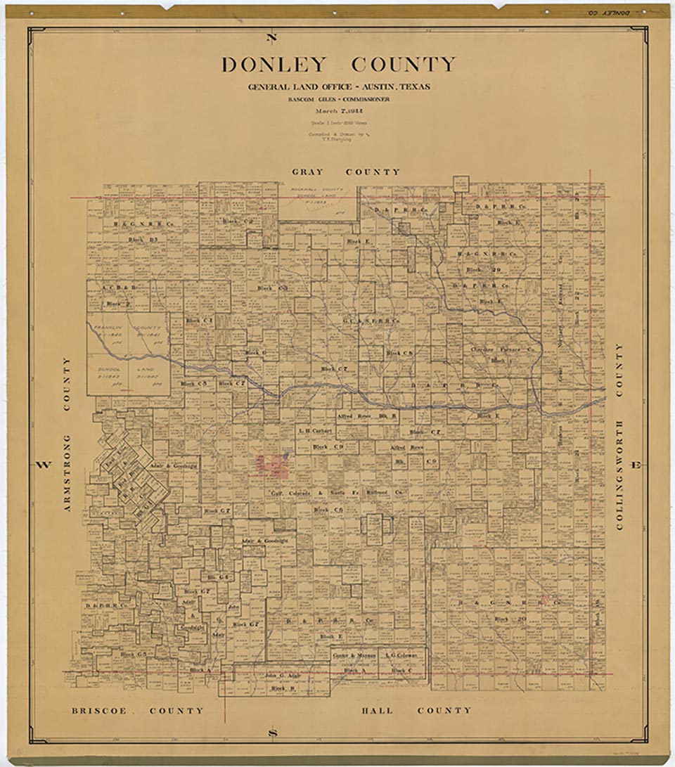
Donley County, in the eastern Panhandle just east of the Llano Estacado, is bordered on the north by Gray County, on the west by Armstrong County, on the east by Collingsworth County, and on the south by Briscoe and Hall counties. It was named for Stockton P. Donley, a pioneer lawyer. The center of the county is at 30°00' latitude and 100°50' longitude. Clarendon, the county seat, is near the center of the county, seventy miles southeast of Amarillo. The county occupies 929 square miles of rolling prairie and broken rangeland. Its sandy clay, deep loam, and sandy loam support a variety of native grasses as well as cotton, grain sorghum, wheat, and corn. Oak, cottonwood, elm, mesquite, and other trees can be found near the rivers and streams in the county. The Salt Fork of the Red River rises to the west in Armstrong County, runs eastward across the center of Donley County, and is fed by Beckard, Allen, Carroll, Saddler's, and Whitefish creeks. Several tributaries, including Mulberry, McCullum, Hall, Big Sandy, Brush, West and East Bitter, Oaks, Indian, and Buck creeks, head in Donley County and flow southward toward the South Fork of the Red River. Most of these streams are intermittent, and those that flow year-round do so in a trickle. Elevations in Donley County range from 2,200 to 3,200 feet above sea level, and the average annual rainfall is 20.74 inches. The average minimum temperature is 26° F in January, and the annual average maximum is 96° in July. The growing season averages 206 days per year.
The area that is now Donley County was part of the domain of the Plains Apaches until the eighteenth century, when Comanches and Kiowas entered the region. Several Spanish and American explorers came through the area; in 1787 Pedro Vial crossed the county, and in 1788 Santiago Fernández followed Vial's route. Americans did not enter the region until 1852, when captains Randolph B. Marcy and George B. McClellan led their military surveying exploration of the Red River system into the area. The region remained the Indians' domain until the Red River War of 1874–75. On September 7, 1874, during Col. Nelson A. Miles's campaign, Lt. Frank D. Baldwin and a scout fought their way out of a Cheyenne ambush on Whitefish Creek in the northeastern section of what is now Donley County. The subsequent defeat of the Indians and their confinement to reservations in Indian Territory left the area open to White settlement. In 1876 the area was separated from the jurisdiction of the Bexar District, briefly assigned to Wegefarth County, and finally designated Donley County.
Donald R. Abbe, H. Allen Anderson | © TSHA
Adapted from the official Handbook of Texas, a state encyclopedia developed by Texas State Historical Association (TSHA). It is an authoritative source of trusted historical records.
- ✅ Adoption Status:
- This place is available for adoption! Available for adoption!
- Adopted by:
- Your name goes here
- Dedication Message:
- Your message goes here
Currently Exists
Yes
Place type
Donley County is classified as a County
Altitude Range
2080 ft – 3268 ft
Size
Land area does not include water surface area, whereas total area does
- Land Area: 926.9 mi²
- Total Area: 933.1 mi²
Temperature
January mean minimum:
23.8°F
July mean maximum:
94.7°F
Rainfall, 2019
24.0 inches
Population Count, 2019
3,278
Civilian Labor Count, 2019
1,269
Unemployment, 2019
5.8%
Property Values, 2019
$838,813,465 USD
Per-Capita Income, 2019
$45,736 USD
Retail Sales, 2019
$40,903,265 USD
Wages, 2019
$7,697,473 USD
County Map of Texas
Donley County
- Donley County
Places of Donley County
| Place | Type | Population (Year/Source) | Currently Exists |
|---|---|---|---|
| Town | 20 (2009) | Yes | |
| Town | – | – | |
| Town | 1,867 (2021) | Yes | |
| Town | – | – | |
| Town | – | – | |
| Town | – | – | |
| Lake | – | Yes | |
| Town | 278 (2021) | Yes | |
| Town | 371 (2021) | Yes | |
| Town | – | – | |
| Town | – | – | |
| Town | 55 (2021) | Yes | |
| Town | – | – | |
| Town | – | – | |
| Town | – | – | |
| Town | – | – | |
| Town | – | – | |
| Town | – | – | |
| Town | – | – | |
| Town | – | – | |
| Town | – | – | |
| Town | – | – |
Proud to call Texas home?
Put your name on the town, county, or lake of your choice.
Search Places »