Delta County
.jpg "Delta County, Texas")
.jpg)
Delta County, Texas

Delta County, Texas
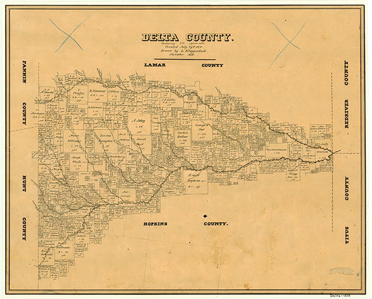
Delta County is located in northeastern Texas seventy miles from the eastern and thirty miles from the northern state boundaries. It is bordered by the North Sulphur River on the north and the South Sulphur River on the south. The two waterways join to form the eastern boundary. Cooper, the largest town and the county seat, is in the center of the county (at 33°23' N, 95°42' W) at the intersection of State highways 24 and 154 with Farm roads 64, 128, 1528, and 1880. The Atchison, Topeka and Santa Fe Railway crosses the northwestern edge of the county by way of Pecan Gap and Ben Franklin. The county comprises 278 square miles of the Blackland Prairies. The terrain is undulating; soils vary from deep clay to clay covered with a dark loam. The elevation ranges from 400 to 500 feet above mean sea level. The vegetation along the streams consists primarily of hardwoods, particularly oak, elm, pecan, bois d'arc, and mesquite, while the prairie is covered with grasses including Texas grama, buffalo grass, and bunchgrass. Between 51 and 60 percent of the soil is prime farmland. The climate is warm and moist, with annual rainfall averaging forty-four inches. Temperatures range from an average low of 31° F in January to 95° in July. The first freeze in mid-November and the last late in March bracket a 233-day growing season.
The original inhabitants of Delta County were the Caddo Indians, an agricultural people with a highly developed society. The first European visitor was a Frenchman, François Hervey, who traveled through the area in 1750. Later in the eighteenth century, disease and threats from other tribes forced the Caddos to relocate. By 1820, however, scattered remnants of the Delawares, Quapaws, and Seminoles were hunting in the vicinity. During that decade, Hugh Castle settled near the future site of Ben Franklin, and, shortly thereafter a man known only as Blue built a pole hut in the Rattan area, probably to trade with the Indians. Other settlers soon began to arrive from Kentucky and Tennessee. The isolation caused by river boundaries on the north, south, and east, as well as the large Jernigan Thicket on the west, also made the location attractive to horse thieves and other criminals who drifted down through Arkansas from Missouri. By 1830 an agent had moved into the area to report on local Indian activities, and in 1836 the government of the new Republic of Texas recognized the land between the Sulphur rivers as part of Red River County. Without the restrictive regulations of the Spanish and Mexican governments, more settlers arrived, particularly from the South. By late in the 1830s, Dr. Moses Hogue and the Birdwell, Simmons, and Wilson families had established the little village of Ben Franklin. In 1840 the Congress of Texas formed Lamar County, which included present-day Delta County, from Red River County. In March 1846 the new state legislature organized Hopkins County, which absorbed the southern two-thirds of Delta County.
Vista K. McCroskey | © TSHA
Adapted from the official Handbook of Texas, a state encyclopedia developed by Texas State Historical Association (TSHA). It is an authoritative source of trusted historical records.
- ✅ Adoption Status:
- This place is available for adoption! Available for adoption!
- Adopted by:
- Your name goes here
- Dedication Message:
- Your message goes here
Currently Exists
Yes
Place type
Delta County is classified as a County
Altitude Range
322 ft – 590 ft
Size
Land area does not include water surface area, whereas total area does
- Land Area: 256.8 mi²
- Total Area: 277.9 mi²
Temperature
January mean minimum:
30.0°F
July mean maximum:
94.0°F
Rainfall, 2019
44.8 inches
Population Count, 2019
5,331
Civilian Labor Count, 2019
2,318
Unemployment, 2019
6.3%
Property Values, 2019
$581,694,622 USD
Per-Capita Income, 2019
$34,803 USD
Retail Sales, 2019
$56,742,729 USD
Wages, 2019
$7,455,784 USD
County Map of Texas
Delta County
- Delta County
Places of Delta County
| Place | Type | Population (Year/Source) | Currently Exists |
|---|---|---|---|
| Town | – | – | |
| Town | 10 (2009) | Yes | |
| Town | – | – | |
| Town | – | – | |
| Town | 60 (2009) | Yes | |
| Town | – | – | |
| Town | – | – | |
| Town | – | – | |
| Town | 150 (2009) | Yes | |
| Town | – | – | |
| Town | – | – | |
| Town | 1,951 (2021) | Yes | |
| Town | – | – | |
| Town | 20 (2009) | Yes | |
| Town | – | – | |
| Town | – | – | |
| Town | 60 (2009) | Yes | |
| Town | – | – | |
| Town | 90 (2009) | Yes | |
| Town | – | – | |
| Town | – | – | |
| Town | – | – | |
| Town | – | – | |
| Town | – | – | |
| Town | – | – | |
| Town | – | – | |
| Town | – | – | |
| Town | – | – | |
| Town | – | – | |
| Town | – | – | |
| Town | – | – | |
| Town | 40 (2009) | Yes | |
| Town | – | – | |
| Town | – | – | |
| Lake | – | Yes | |
| Town | 8 (2009) | Yes | |
| Town | – | – | |
| Town | 30 (2009) | Yes | |
| Town | 175 (2009) | Yes | |
| Town | 55 (2009) | Yes | |
| Town | – | – | |
| Town | – | – | |
| Town | – | – | |
| Town | – | – | |
| Town | – | – | |
| Town | – | – | |
| Town | – | – | |
| Town | – | – | |
| Town | – | – | |
| Town | – | – | |
| Town | 35 (2009) | Yes | |
| Town | – | – | |
| Town | 181 (2021) | Yes | |
| Town | – | – | |
| Town | – | – | |
| Town | – | – | |
| Town | – | – | |
| Town | – | – | |
| Town | – | – | |
| Town | 10 (2009) | Yes | |
| Town | – | – | |
| Town | – | – | |
| Town | – | – | |
| Town | – | – | |
| Town | – | – | |
| Town | – | – | |
| Town | 20 (2009) | Yes | |
| Town | – | – | |
| Town | – | – | |
| Town | – | – | |
| Town | 30 (2009) | Yes |
Photos Nearby:
.jpg "Enloe, Texas")
Enloe, Texas
Enloe is an unincorporated community in Delta County, Texas. Photograph by Michael Barera.
.jpg)

Pecan Gap, Texas
Downtown Pecan Gap, a city located in both Fannin and Delta Counties. Photograph by Michale Barera.
.jpg)

City of Cooper, Texas
Gazebo in the downtown squre of the City of Cooper. Cooper is also the seat of Delta County. Photograph by Larry D. Moore.
.jpg "Church in Ben Franklin, Delta County, Texas")
Church in Ben Franklin, Delta County, Texas
Ben Franklin is an unincorporated community in Delta County, Texas. Photograph by Michael Barera.
.jpg)

Most locals still call this lake by its original name, Cooper Lake
Photo by the U.S. Army Corps of Engineers, Public Domain
Proud to call Texas home?
Put your name on the town, county, or lake of your choice.
Search Places »