Castro County

Castro County, Texas

Castro County, Texas
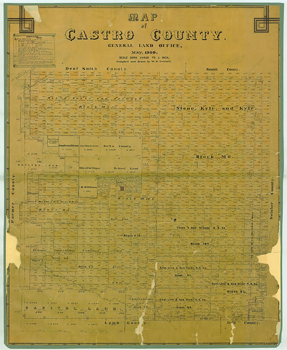
Castro County is located in the western Panhandle on the Texas High Plains, bordered on the west by Parmer County, on the north by Deaf Smith and Randall Counties, on the east by Swisher County, and on the south by Lamb and Hale counties. The county was named for Henri Castro, the empresario who was consul general to Paris for the Republic of Texas. The center of the county lies at approximately 34°32' north latitude and 102°20' west longitude. Dimmitt, the county seat, is near the center of the county, approximately fifty miles southwest of Amarillo. Castro County comprises 900.33 square miles of level plains. Its sandy loam and black soils once supported native grasses but now produce abundant corn, wheat, sorghum, cotton, sugarbeets, and soybeans. Seasonally waterless draws or arroyos drain the county; Frio Draw runs southeasterly into Swisher County, and Running Water Draw, which begins about twenty-five miles northwest of Clovis, New Mexico, meanders southeasterly across Castro County into Lamb and then Hale counties. More than 500 playas dot the surface of the county. Elevation ranges from 3,500 to 4,000 feet above sea level, and annual precipitation averages 17.72 inches. The average minimum temperature of 22° F occurs in January, and the average maximum of 93° in July. The growing season averages 193 days a year.
The area now known as Castro County was once occupied by Apaches, who were forced out of the region by Comanches around 1720. The Comanches ruled the Panhandle-Plains area until they were defeated by the United States Army in the Red River War of 1874. The Indians were confined to reservations in Indian Territory during 1875 and 1876. Buffalo hunters arrived in the region in 1876 and by the early 1880s had eliminated the last remnants of the formerly huge herds. The Texas legislature established Castro County in 1876.
Donald R. Abbe | © TSHA
Adapted from the official Handbook of Texas, a state encyclopedia developed by Texas State Historical Association (TSHA). It is an authoritative source of trusted historical records.
- ✅ Adoption Status:
Currently Exists
Yes
Place type
Castro County is classified as a County
Altitude Range
3565 ft – 4000 ft
Size
Land area does not include water surface area, whereas total area does
- Land Area: 894.4 mi²
- Total Area: 899.3 mi²
Temperature
January mean minimum:
21.3°F
July mean maximum:
91.0°F
Rainfall, 2019
21.2 inches
Population Count, 2019
7,530
Civilian Labor Count, 2019
3,172
Unemployment, 2019
4.1%
Property Values, 2019
$1,769,071,410 USD
Per-Capita Income, 2019
$42,786 USD
Retail Sales, 2019
$65,681,283 USD
Wages, 2019
$26,674,513 USD
County Map of Texas
Castro County
- Castro County
Places of Castro County
| Place | Type | Population (Year/Source) | Currently Exists |
|---|---|---|---|
| Town | – | – | |
| Town | – | – | |
| Town | – | – | |
| Town | – | – | |
| Town | 4,167 (2021) | Yes | |
| Town | 12 (2009) | Yes | |
| Town | 26 (2009) | Yes | |
| Town | 26 (2009) | Yes | |
| Town | – | – | |
| Town | – | – | |
| Town | 882 (2021) | Yes | |
| Town | – | – | |
| Town | – | – | |
| Town | – | – | |
| Town | 312 (2021) | Yes | |
| Town | – | – | |
| Town | – | – | |
| Town | – | – | |
| Town | – | – | |
| Town | – | – | |
| Town | – | – | |
| Town | – | – | |
| Town | – | – | |
| Town | 0 (2021) | Yes | |
| Town | 64 (2009) | Yes | |
| Town | – | – |
Proud to call Texas home?
Put your name on the town, county, or lake of your choice.
Search Places »