Blanco County

Pedernales Falls, Blanco County, Texas

Blanco County, Texas
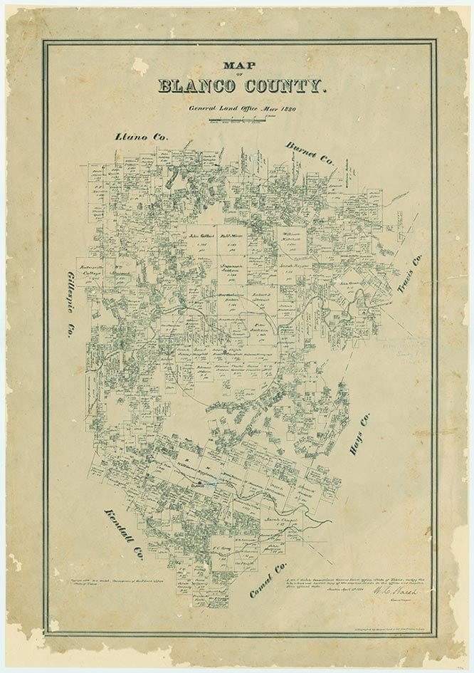
Blanco County is in the Hill Country of south central Texas, bordered on the west by Gillespie County, on the north by Burnet and Llano counties, on the east by Hays County, and on the south by Kendall and Comal counties. Johnson City, the county seat, is four miles north of the center of the county, forty miles west of Austin and sixty miles northwest of San Antonio. The county's center lies at 30° 23' north latitude and 98° 24' west longitude. Blanco County comprises 714 square miles of the eastern edge of the Edwards Plateau and has an elevation range of 800 to 1,850 feet above sea level. The terrain is generally hilly to mountainous, and along some streambeds the landscape has a "stairstep" appearance due to limestone benches and steep slopes. The vegetation consists mainly of stands of live oak and Ashe juniper, with mesquite and grasses. The soils are generally dark, calcareous, stony, clay loams with rock outcrops. Mineral resources include limestone, lead, oil, gas, industrial sand, and dolomite. Most of the county is best suited for rangeland and wildlife habitat. The northern and central part, about two-thirds of the total area, drains into the Colorado River in Travis County through Miller and Cypress creeks and the Pedernales River. The southern third of the county drains into the Guadalupe River through the Blanco and Little Blanco rivers. The temperatures range from an average high of 96° F in July to an average low of 34° in January, the rainfall averages 34.39 inches per year, and the growing season extends an average of 234 days.
There is archeological evidence that Indians camped in the Blanco County area as early as a.d. 1150, and ancestors of the Lipan Apaches, who had migrated from the great Northwest, may have been roaming the area when the Spanish arrived in the sixteenth century. There is not much concrete evidence of Spanish and French exploration of the area at that time, but the fact that there was a proposal for a mission on the Pedernales River submitted by a Father Santa Ana, plus the fact that the Marqués de San Miguel de Aguayo named the Blanco River in 1721, does suggest that the Spanish knew the area fairly well. Small expeditions continued to cross the territory throughout the eighteenth century, but most of what is now Blanco County had been explored by 1749.
Mary H. Ogilvie, John Leffler | © TSHA
Adapted from the official Handbook of Texas, a state encyclopedia developed by Texas State Historical Association (TSHA). It is an authoritative source of trusted historical records.
- ✅ Adoption Status:
Currently Exists
Yes
Place type
Blanco County is classified as a County
Altitude Range
741 ft – 1900 ft
Size
Land area does not include water surface area, whereas total area does
- Land Area: 709.3 mi²
- Total Area: 713.4 mi²
Temperature
January mean minimum:
34.8°F
July mean maximum:
92.8°F
Rainfall, 2019
34.9 inches
Population Count, 2019
11,931
Civilian Labor Count, 2019
6,209
Unemployment, 2019
4.3%
Property Values, 2019
$5,394,850,217 USD
Per-Capita Income, 2019
$51,968 USD
Retail Sales, 2019
$83,077,884 USD
Wages, 2019
$47,009,616 USD
County Map of Texas
Blanco County
- Blanco County
Places of Blanco County
| Place | Type | Population (Year/Source) | Currently Exists |
|---|---|---|---|
| Town | – | – | |
| Town | 1,780 (2021) | Yes | |
| Town | – | – | |
| Town | – | – | |
| Town | – | – | |
| Town | – | – | |
| Town | – | – | |
| Town | 200 (2009) | Yes | |
| Town | – | – | |
| Town | – | – | |
| Town | – | – | |
| Town | – | – | |
| Town | – | – | |
| Town | 72 (2009) | Yes | |
| Town | 1,717 (2021) | Yes | |
| Town | – | – | |
| Town | – | – | |
| Town | – | – | |
| Town | – | – | |
| Town | – | – | |
| Town | – | – | |
| Town | – | – | |
| Town | 30 (2009) | Yes | |
| Town | – | – | |
| Town | – | – | |
| Town | 10 (2009) | Yes | |
| Town | – | – | |
| Town | 20 (2009) | Yes | |
| Town | – | – | |
| Town | 104 (2021) | Yes | |
| Town | – | – | |
| Town | 150 (2009) | Yes | |
| Town | – | – | |
| Town | – | – | |
| Town | – | – | |
| Town | – | – | |
| Town | – | – | |
| Town | – | – | |
| Town | – | – | |
| Town | – | – |
Proud to call Texas home?
Put your name on the town, county, or lake of your choice.
Search Places »