Quemado

Quemado, Texas

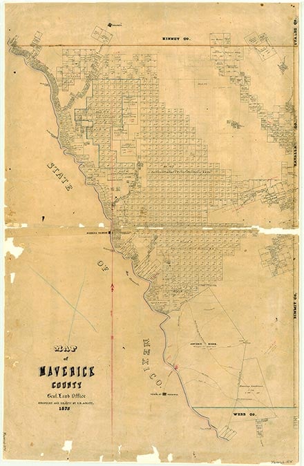
Quemado is on U.S. Highway 277 1½ miles east of the Rio Grande and eighteen miles northwest of Eagle Pass in the Quemado Valley region of northwestern Maverick County. The Quemado Valley, for which the community is named, was designated the "burned valley" by Spanish explorers who believed the area had been parched by volcanic eruption. The initial Mass on Texas soil is believed to have taken place in the valley during the Bosque-Larios expedition in 1675. The Wipff family, Mike and his nephews Joseph and Theo, established a cattle ranch in the region around 1871. The first farmers to settle the Quemado Valley were escaping drought in the Texas Panhandle sometime in the late 1800s. P. D. Anderson was the first landowner in the valley to subdivide his property and offer farm tracts to new settlers. Hans Lahrman, an apiarist, began a trade that became an important industry in the region in the early 1900s. In 1897 thirty students attended the one-teacher Quemado school. In 1914 Joseph Wipff was a cattle breeder in the community. By 1915 Quemado had an estimated population of 100. In 1932 the Maverick County Irrigation Canal provided irrigation water; an initial problem with flooding was alleviated by the late 1930s. In 1936 Quemado had five grocery stores, three filling stations, a post office, a tourist camp, a community canning plant, a tile plant, a vegetable-loading platform, and a school. A post office was established in the community in 1934. In 1940 livestock raising, dairying, and irrigated truck farming were the chief sources of income. By 1946 Quemado had an estimated population of 314, three churches, and three businesses. The estimated population was 950 in 1956 and remained at that level throughout the early 1960s, perhaps because the irrigation system made farmers less vulnerable to the widespread drought afflicting Texas. By 1968 the population had dropped to an estimated 426. In the late 1970s Quemado had six churches, a school, four businesses, and a scattering of dwellings. In 1981 the Quemado Valley elementary school changed its name to Maude Mae Kirchner Elementary School in honor of a beloved educator who had taught countless Quemado Valley students over more than four decades. In 1990 the population was 426. The population dropped to 243 in 2000.
Ruben E. Ochoa | © TSHA
Adapted from the official Handbook of Texas, a state encyclopedia developed by Texas State Historical Association (TSHA). It is an authoritative source of trusted historical records.
- Adoption Status:
- This place has been adopted and will not be available until October 21, 2024
- Adopted by:
- Dan & Juana Maria Jaeger
- Dedication Message:
- A nice quiet place to live
Belongs to
Quemado is part of or belongs to the following places:
Currently Exists
Yes
Place type
Quemado is classified as a Town
Associated Names
- [1]
- [-Spur]
Location
Latitude: 28.94802290Longitude: -100.62397110
Has Post Office
Yes
Is Incorporated
No
Population Count, 2021 View more »
112