New Deal
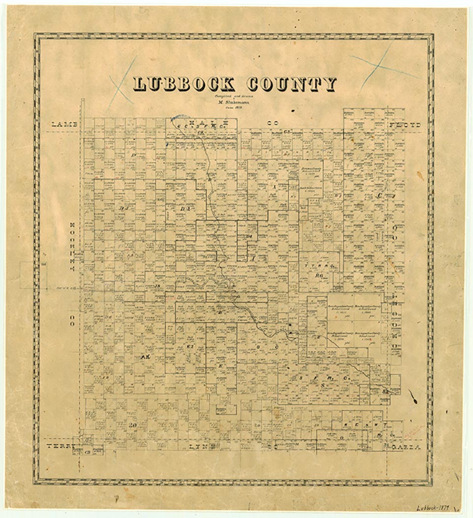
New Deal is on Interstate Highway 27, Farm Road 1729, and the Santa Fe Railroad, eleven miles north of Lubbock in northern Lubbock County. The town began when the railroad track was laid from Plainview to Lubbock in 1909. The settlement was originally named for Monroe G. Abernathy, a promoter of the Santa Fe line. Monroe never grew into a large settlement. A school was built in 1917, although only one house was reported in the community in 1918. By the late 1920s, however, the town had prospered enough to have a general store, a blacksmith shop, cotton gins, a cafe, and a lumberyard. A permanent depot, built in 1928, was officially opened the next year. In 1935 the four rural schools of Caldwell, Center, Grovesville, and Monroe combined to form a new school district, renamed New Deal after Franklin D. Roosevelt's programs. When a post office was established in June 1949 the town was also renamed New Deal. The population was 125 in 1940. Business establishments included a gin, a grain house, and a branch library. In 1970, when the town of New Deal incorporated, the population was reported at 500. By 1980 the town had grown to 637. Businesses included gins, onion-packing sheds, grocery stores, and a cafe, and a regional headquarters for Northrup King Seed Company was located there. In 2000 the population was 708.
Charles G. Davis | © TSHA
Adapted from the official Handbook of Texas, a state encyclopedia developed by Texas State Historical Association (TSHA). It is an authoritative source of trusted historical records.
- ✅ Adoption Status:
- This place is available for adoption! Available for adoption!
- Adopted by:
- Your name goes here
- Dedication Message:
- Your message goes here
Belongs to
New Deal is part of or belongs to the following places:
Currently Exists
Yes
Place type
New Deal is classified as a Town
Associated Names
- (Monroe)
Location
Latitude: 33.72908400Longitude: -101.83921000
Has Post Office
Yes
Is Incorporated
Yes
Population Count, 2021 View more »
729