Millican
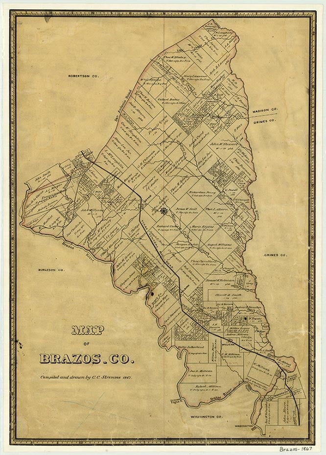
Millican is on the Southern Pacific line at the intersection of Farm roads 2154 and 159, between the Brazos and Navasota rivers fifteen miles southeast of College Station in southern Brazos County. The rolling countryside is part of the East Texas timberlands. Good farmland, other natural resources, and abundant wildlife, including deer and wild turkeys, attracted settlers to Brazos County. The area had been known as Millican since it was settled by Robert Hemphill Millican and his son Dr. Elliott McNeil Millican in the 1820s. By 1845 the place was known as Millican Crossroads. In 1849 the community received a post office, and by 1850 a stagecoach line extended from Houston through Millican. Dr. Elliott Millican sold the northern part of his land grant, three miles north of the site of the older Millican Crossroads community, on December 14, 1859, and the new townsite was named in his honor. From 1860 to around 1867 the town was the terminus of the Houston and Texas Central Railway; the prosperous community built churches and schools. At this time Millican was reportedly the largest city north of Houston and Galveston. During the Civil War years the town became the site of a training camp for 5,000 Confederate troops. In 1864 Millican was incorporated and its population reached 3,000. Millican declined when the railroad resumed its northward expansion to Bryan around 1866; businesses moved north with the railroad. In 1867 the Millican population was further reduced by a yellow fever epidemic. Millican had 1,200 residents in 1868; that year race riots in the community cost more lives. In 1883 the town had a cotton gin, two steam gristmills, four churches, and a school, which in 1904–05 had eighty pupils and two teachers. In the 1920s the Phillips Petroleum Company drilled a 17,000-foot-deep well into a nearby salt dome, but no oil was found. Highway 6 bypassed Millican in 1930, and by 1940 its population had dwindled to 200. In 1990 Millican had a population of 100, a community center, a volunteer fire station, three churches and two cemeteries, a modern post office, and a fertilizer plant. By 2000 the population was 108.
Christina L. Gray | © TSHA
Adapted from the official Handbook of Texas, a state encyclopedia developed by Texas State Historical Association (TSHA). It is an authoritative source of trusted historical records.
- ✅ Adoption Status:
- This place is available for adoption! Available for adoption!
- Adopted by:
- Your name goes here
- Dedication Message:
- Your message goes here
Belongs to
Millican is part of or belongs to the following places:
Currently Exists
Yes
Place type
Millican is classified as a Town
Location
Latitude: 30.46700040Longitude: -96.20350500
Has Post Office
Yes
Is Incorporated
Yes
Population Count, 2021 View more »
240