Milam
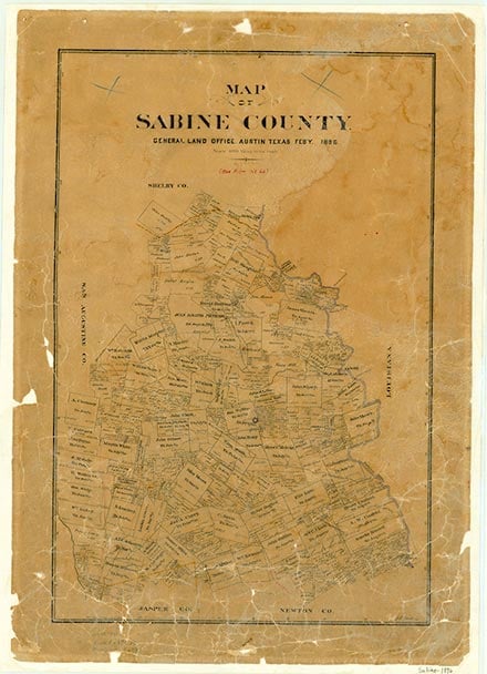
Milam is at the junction of State highways 21 and 87, six miles north of Hemphill in northern Sabine County. The site was originally an Indian watering place called Las Borregas by the Spanish; it was used as a campsite on the Old San Antonio Road. It was settled about 1828. The community was originally called Red Mound but was renamed in honor of Benjamin Rush Milam when it was designated the seat of the Municipality of Sabine in 1835. It was incorporated in 1837 and continued as county seat until 1858. Under the Republic of Texas Milam was a port of entry with a customs collector. During the Civil War it became county headquarters for the Army Quartermaster Department of the Confederacy. During the antebellum Texas period the town was known for its two large racecourses, which drew crowds that were easily accommodated by its equally well-known inns and taverns. By 1884 the population of Milam had fallen to an estimated 130. In the late 1930s it increased to an estimated 250. During the post-World War II era, Milam declined once more. In 1990 its population was reported as 177, and the town had seven rated businesses. By 2000 the population was 1,329 with twenty-one businesses.
Dan Ferguson | © TSHA
Adapted from the official Handbook of Texas, a state encyclopedia developed by Texas State Historical Association (TSHA). It is an authoritative source of trusted historical records.
- ✅ Adoption Status:
- This place is available for adoption! Available for adoption!
- Adopted by:
- Your name goes here
- Dedication Message:
- Your message goes here
Belongs to
Milam is part of or belongs to the following places:
Currently Exists
Yes
Place type
Milam is classified as a Town
Associated Names
- (Red Mound)
Location
Latitude: 31.43240410Longitude: -93.84574160
Has Post Office
Yes
Is Incorporated
No
Population Count, 2021 View more »
1,697