Mexia
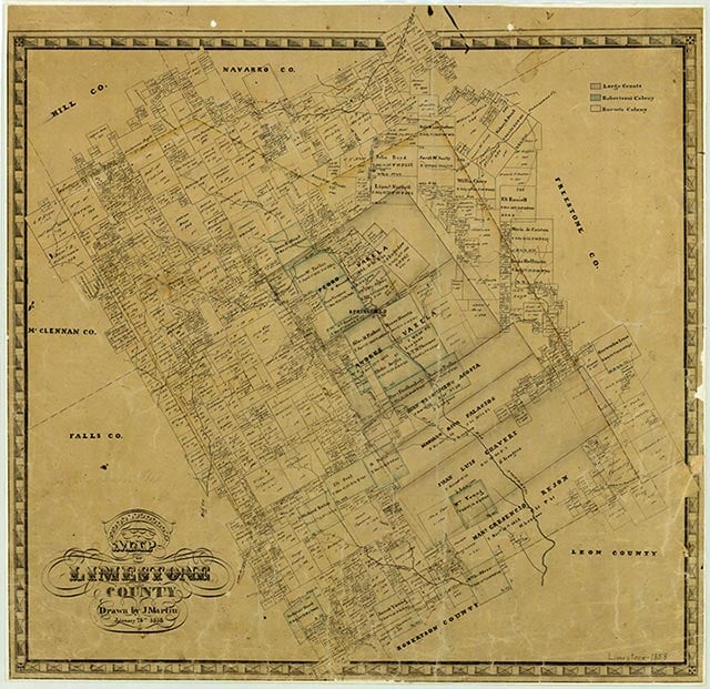
Mexia is at the intersection of U.S. Highway 84 and State highways 14 and 171, twelve miles northeast of Groesbeck in northeastern Limestone County. It was named for the Mexía family, who in 1833 received an eleven-league land grant that included what is now the townsite. The town was laid out in 1870 by a trustee of the Houston and Texas Central Townsite Company, which offered lots for sale in 1871, as the Houston and Texas Central Railway was completed between Hearne and Groesbeck. The Mexia post office began operation in 1872, and the community was incorporated with a mayoral form of government in 1873 by an act of the legislature. The city's first newspaper, the Ledger, was established in Fairfield in 1869 and moved to Mexia in 1872. By 1880 Mexia also had four schools, three churches, and a variety of businesses to serve its 1,800 residents; by 1885 the town had a gas works, an opera house, two banks, two sawmills, and 2,000 residents. The Mexia Democrat was established in 1887 and the Weekly News in 1898. Between 1904 and 1906 the Trinity and Brazos Valley Railway built track between Hillsboro and Houston, making Mexia a commercial crossroads for area farmers.
In 1912 the Mexia Gas and Oil Company drilled ten dry holes, but in the eleventh attempt discovered a large natural gas deposit. The Mexia oilfield was discovered in 1920, and the population of Mexia increased from 3,482 to nearly 35,000. The rapid growth was too great for local authorities to handle, and for a short time in 1922 Mexia was under martial law. That year proved to be the peak production year for the Mexia field, with 35 million barrels produced. Cumulative production of the field totaled 108 million barrels by the mid-1980s. In 1924 Mexia residents passed a new city charter that changed the local government to a city manager system. After the initial oil boom, the population of Mexia declined to 10,000 by the mid-1920s. The prosperity generated by the boom, however, continued until the 1930s, when the Great Depression forced many people to leave in search of work. The number of residents in the town stabilized at 6,500 in the early 1930s, but the number of businesses reported fell from 280 to 190. In 1942 a camp for prisoners of war was established at Mexia; the facility was converted in 1947 for use as the Mexia State School, which became one of the community's principal employers. The population was reported as 6,618 in the early 1950s, 5,943 in the early 1970s, 7,172 in the late 1980s, and 6,933 in 1990. In 2000 the population was listed as 6,563.
Vivian Elizabeth Smyrl | © TSHA
Adapted from the official Handbook of Texas, a state encyclopedia developed by Texas State Historical Association (TSHA). It is an authoritative source of trusted historical records.
- ✅ Adoption Status:
Belongs to
Mexia is part of or belongs to the following places:
Currently Exists
Yes
Place type
Mexia is classified as a Town
Location
Latitude: 31.67926410Longitude: -96.48133100
Has Post Office
Yes
Is Incorporated
Yes
Population Count, 2021 View more »
6,876
Places of Mexia
| Place | Type | Population (Year/Source) | Currently Exists |
|---|---|---|---|
| College or University | – | Yes |
Proud to call Texas home?
Put your name on the town, county, or lake of your choice.
Search Places »