Megargel
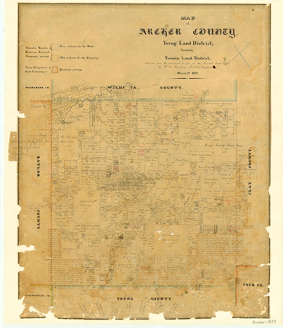
Map of Archer County, Young Land District, formely Fannin Land District
Megargel, on the headwaters of Kickapoo Creek in southwestern Archer County, was laid out in 1910 when the Gulf, Texas and Western Railroad began to extend its track from Jacksboro to Seymour. The Trinity Townsite Company named the town for the railroad company president, Roy C. Megargel. Because discounts were given to purchasers who developed their lots within sixty days, within three months of its founding the town had twenty-three stores, a hotel, a bank, and a post office. A school district was organized during the spring and summer of 1910, and classes began with three teachers. Set in good cattle-raising and farming country, Megargel grew steadily. By 1914 its population was 350, the Megargel Times had begun publishing, and two rooms were being added to the school. After H. Sheets drilled the discovery well in the nearby Swastika oilfield in 1923, and especially after the 1925 discovery of oil four miles east of town, Megargel boomed. By 1926 there were 350 wells within seven miles of town. The estimated population jumped from 475 in 1923 to 1,000 by 1926 and to 1,200 by 1927. In 1924 the school added four rooms and bought three school buses; in 1927 Megargel built a two-story high school, which reportedly had the first high school band in Texas. At its zenith in the late 1920s Megargel had fifty businesses, including machine shops, foundries, welding and boiler works, and a refinery. By 1930 Megargel had begun to decline. Its population fell from 831 in 1930 to 531 in 1940, the year the Rock Island took over the railroad. The bank was liquidated in 1941, and the railroad was abandoned in 1943. The population was 347 in 1950 and 417 in 1960; the 1960 graduating class was the same size as the 1918 class-five. The population was 375 in 1970 and 348 in 1980, as new efforts were made to work the oilfields surrounding Megargel. In 1986 the town still had a post office and nine businesses. In 1990 its population was 244. The population was 248 in 2000.
Monte Lewis | © TSHA
Adapted from the official Handbook of Texas, a state encyclopedia developed by Texas State Historical Association (TSHA). It is an authoritative source of trusted historical records.
- ✅ Adoption Status:
- This place is available for adoption! Available for adoption!
- Adopted by:
- Your name goes here
- Dedication Message:
- Your message goes here
Belongs to
Megargel is part of or belongs to the following places:
Currently Exists
Yes
Place type
Megargel is classified as a Town
Location
Latitude: 33.45357670Longitude: -98.92980200
Has Post Office
Yes
Is Incorporated
Yes
Population Count, 2021 View more »
177