Lyons
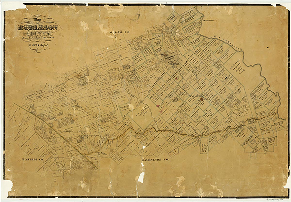
Lyons is on State Highway 36 two miles from Lake Somerville in south central Burleson County. When the Gulf, Colorado and Santa Fe Railway built its main line through Burleson County in 1880, a construction workers' camp, known as Camp Pennington, was established near what is now the site of Lyons. Saloons, established near the camp to serve the railroad workers, soon formed the basis for a small railroad community. Early settler W. A. Lyon gave fifty acres of land to the railroad for a right-of-way and established the first general store near the settlement. It was first called Lyon's Station but later became known as Lyons. It soon became the trading center for outlying communities and at one time was the second largest town in the county. Cattle, cotton, and cottonseed were regularly shipped by rail from the town. Businesses included a cotton warehouse, an oil mill, a millinery shop, a drugstore, a hotel, four general stores, three cotton gins, and several blacksmith shops, livery stables, and photo galleries. By 1890 the community had a population of 150, and in 1897 it had a newspaper, the Weekly Ledger; later it had the Lyons Enterprise. A post office was established at the community in 1886. Around that time the first school was built. In 1887 a Methodist church was organized at Lyons. There was also a Masonic lodge; its building was used by the entire community for civic functions. The First State Bank was established in 1910 but was liquidated in 1938. By 1934 Lyons had an independent school district and a two-story brick school building. However, the school was merged with the Somerville Independent School District in 1948. In 1990 Lyons, with a population of 360, had its own water system, three grocery stores, several antique shops, a car wash, an auto body shop, and a post office. At that time the Home Demonstration Club was active and owned its own building. There were also four churches in the community. The site of Lyons is located above the Austin Chalk Formation in Burleson County; consequently, there are many oil wells and several oil-related industries in the area. The population remained at 360 in 2000.
Catherine G. Alford, Mrs. Allen Rhodes | © TSHA
Adapted from the official Handbook of Texas, a state encyclopedia developed by Texas State Historical Association (TSHA). It is an authoritative source of trusted historical records.
- ✅ Adoption Status:
- This place is available for adoption! Available for adoption!
- Adopted by:
- Your name goes here
- Dedication Message:
- Your message goes here
Belongs to
Lyons is part of or belongs to the following places:
Currently Exists
Yes
Place type
Lyons is classified as a Town
Associated Names
- (Krohne)
Location
Latitude: 30.38631980Longitude: -96.56330330
Has Post Office
Yes
Is Incorporated
No
Population Count, 2021 View more »
505