Hughes Springs
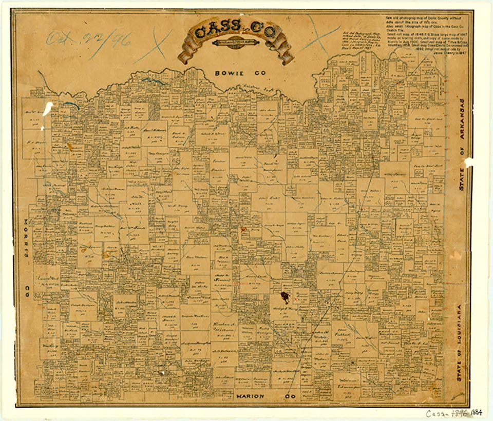
Hughes Springs is on State Highway 49 and the Louisiana and Arkansas line, a mile from the Morris county line in southwestern Cass County. In 1839 Reese Hughes built the first cabin in the area near three mineral springs. The springs, first called Chalybeate Springs, soon came to be known as Hughes Springs, as did the settlement which grew up there. A post office known to postal officials as Hugh's operated in Cass County from 1847 to 1849 with W. V. Hughes as postmaster. This office may have been at or near the Hughes Springs settlement. When the East Line and Red River Railroad was built through the southwestern corner of the county in 1876, Hughes Springs became a station on the line and began to grow. In the beginning one of the principal attractions in the area was the mineral springs, which were considered medicinal. By 1878, the year a post office was established at the community, Hughes Springs had become a relatively popular health resort as well as a shipping and supply point for area farmers. The town by 1884 had saw and grist mills, cotton gins, three churches, a school, and a population of 300. Its population level remained relatively stable during the late 1800s, and the census of 1900 recorded 317 residents there. The town was incorporated in 1903, and by 1920 its population had reached 831. The population reached an estimated 1,000 in 1929 but fell during the early years of the Great Depression, declining to 736 by 1933.
During the 1920s Hughes Springs began to lose its popularity as a health resort, but it remained a shipping and supply point for area farmers. As local agriculture became more diversified, new businesses opened to meet farmers' needs. In 1925 Hughes Springs was the site of a sweet-potato curing plant that handled about 25,000 bushels annually. The plant was one of forty-five businesses reported in operation there that year. Almost from the beginning of the settlement, its citizens were aware that the area had rich iron-ore deposits. A furnace was constructed during the 1850s and was taken over by the Confederate government during the Civil War. It was afterward closed by the federal government because there was no coal in the area and transporting the fuel to the plant was too costly. The ore deposits were used by the Kelly Plow Company in Jefferson beginning in 1870, but they hardly touched the 200 million tons of ore available. In 1912 Charles M. Schwab, head of the Bethlehem Steel Corporation, offered a combination of stock and cash totaling $7 million for control of the ore, but the lease owners refused his offer over a question of the stock value. Finally, during World War II, the Lone Star Steel Plant opened in Morris County ten miles from Hughes Springs. Though Hughes Springs had missed its opportunity to be the site of a steel mill, the nearby mill profoundly affected the town, bringing to the area several collateral industries, including a tar and chemical plant and a plant that made road-building material from the mill's slag. The road-building plant was located just west of Hughes Springs. Between 1940 and 1950 the population of the town jumped from 767 to 1,445. By 1960 its population had risen to 1,823, and in 1980 it reached 2,196. In 1982 the mill was forced to curtail its operations severely as the American steel industry slumped. In 1990 the population of Hughes Springs was 1,938. The population dropped to 1,856 in 2000.
Cecil Harper, Jr. | © TSHA
Adapted from the official Handbook of Texas, a state encyclopedia developed by Texas State Historical Association (TSHA). It is an authoritative source of trusted historical records.
- ✅ Adoption Status:
- This place is available for adoption! Available for adoption!
- Adopted by:
- Your name goes here
- Dedication Message:
- Your message goes here
Belongs to
Hughes Springs is part of or belongs to the following places:
Currently Exists
Yes
Place type
Hughes Springs is classified as a Town
Associated Names
- (Chalybeate Springs)
Location
Latitude: 32.99866310Longitude: -94.63106000
Has Post Office
Yes
Is Incorporated
Yes
Population Count, 2021 View more »
1,543