Eagle Pass

Eagle Pass, Texas

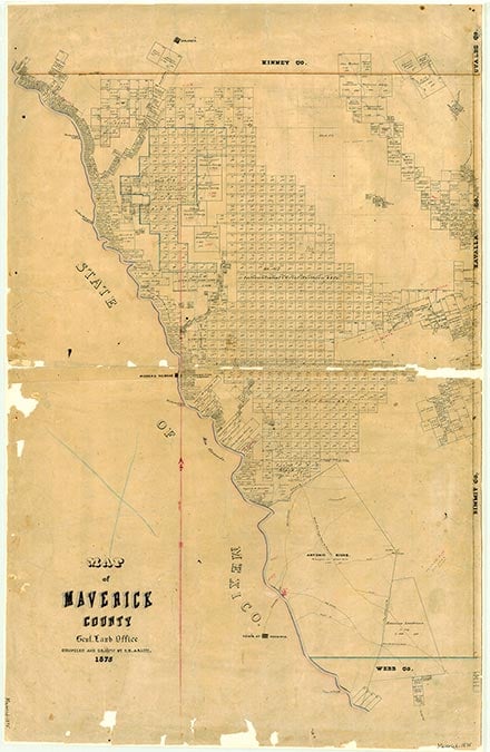
Eagle Pass, the county seat of Maverick County, is located on the Mexican border at the intersection of U.S. highways 277 and 57, Farm Road 1021, and the Southern Pacific Railroad in the far western part of the county. During the Mexican War a company of Texas Mounted Volunteers under the command of Capt. John A. Veatch established an observation post on the Rio Grande opposite the mouth of the Mexican Río Escondido and beside an old smuggler's trail that crossed the river at this point. The crossing, known as El Paso del Águila, was so named because of frequent flights of Mexican eagles from the wooded grove along the Escondido. Though abandoned by the military at the conclusion of hostilities, the site remained a terminus and crossing point for trappers, frontiersmen, and traders. In 1849 Fort Duncan was established two miles upstream, and its proximity caused a rudimentary settlement to spring up at the crossing below the post. In 1850 San Antonio merchant James Campbell opened a trading post there, and he was soon joined by William Leslie Cazneau and his bride, Jane Cazneau. The village, named after the crossing on the Rio Grande, changed from El Paso del Águila to Eagle Pass as the Anglo presence grew. Concurrent with the growth of Eagle Pass below the fort, emigrants bound for the California gold fields (via Mazatlán) established a staging area above the post known as California Camp. The resulting trade and traffic brought a shift in the settlement of Eagle Pass from the old crossing downstream to its present location above the fort. John Twohig, owner of the land, surveyed and laid out a townsite, which he named Eagle Pass. Friedrich W. C. Groos contracted to haul supplies for the military and brought some seventy Mexican families to settle near the fort. A stage line between Eagle Pass and San Antonio was established in 1851. Our Lady of Refuge Catholic Church was constructed in 1852.
The early history of Eagle Pass was often characterized by violence. The settlement and adjoining fort were frequently attacked by the Lipan Apache and Comanche Indians. Piedras Negras, established in 1850 across from Eagle Pass in Mexico, became a haven for fugitive slaves, and both banks of the river were infested with outlaws. In 1855 James H. Callahan crossed into Mexico at Eagle Pass with three companies of volunteer rangers in pursuit of Lipans and Kickapoos. After a fight with Mexican forces on the Escondido, he fell back on Piedras Negras and set the village afire as he crossed back into Eagle Pass. During the Civil War, a party of renegades crossed from Piedras Negras and overran the Confederate garrison at Fort Duncan. The townsmen, fighting from behind a barricade of cotton bales, successfully drove off their assailants. Following federal occupation of Brownsville in 1863, Eagle Pass became an important shipment point for Confederate cotton. After the war the last Confederate force in the field, the Shelby expedition, crossed the Rio Grande at Eagle Pass and in a ceremony buried in the river the last flag to fly over Confederate troops.
Ben E. Pingenot | © TSHA
Adapted from the official Handbook of Texas, a state encyclopedia developed by Texas State Historical Association (TSHA). It is an authoritative source of trusted historical records.
- ✅ Adoption Status:
Adopted by:
Walter Pophin
In honor of James Karnes
Until: June 15th, 2024
Belongs to
Eagle Pass is part of or belongs to the following places:
Currently Exists
Yes
Place type
Eagle Pass is classified as a Town
Associated Names
- (Fort Duncan)
Location
Latitude: 28.71300540Longitude: -100.48389000
Has Post Office
Yes
Is Incorporated
Yes
Population Count, 2021 View more »
28,596
Places of Eagle Pass
| Place | Type | Population (Year/Source) | Currently Exists |
|---|---|---|---|
| College or University | – | Yes |
Proud to call Texas home?
Put your name on the town, county, or lake of your choice.
Search Places »