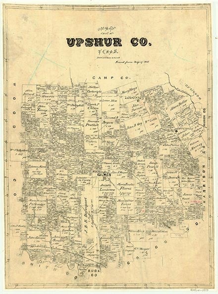
Diana
Diana, also known as New Diana, is at the junction of State Highway 154 and U.S. Highway 259, eleven miles east of Gilmer in eastern Upshur County. New Diana was established in the 1930s by residents of Diana (also known as Old Diana) after oil was discovered three miles south of the old town. In the mid-1930s New Diana had a school, a church, a store, and a number of houses. The town continued to prosper after World War II, and by the mid-1960s, when it was generally referred to as Diana, it included two churches, a school, and three or four stores. In 1990 Diana was a commercial center for area farmers and ranchers; at that time it had an estimated 200 residents and a dozen or so businesses. In 2000 the population was 585 with fifty-two businesses.
Christopher Long | © TSHA
Adapted from the official Handbook of Texas, a state encyclopedia developed by Texas State Historical Association (TSHA). It is an authoritative source of trusted historical records.
- ✅ Adoption Status:
- This place is available for adoption! Available for adoption!
- Adopted by:
- Your name goes here
- Dedication Message:
- Your message goes here
Belongs to
Diana is part of or belongs to the following places:
Currently Exists
Yes
Place type
Diana is classified as a Town
Associated Names
- [3]
- [New-]
Location
Latitude: 32.70986120Longitude: -94.75215420
Has Post Office
Yes
Is Incorporated
No
Population Count, 2009
585