Bayside

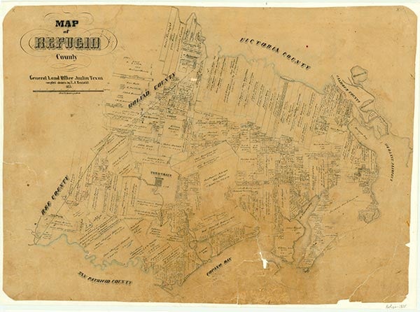
Bayside, on Farm Road 136 twenty-five miles north of Corpus Christi in southeastern Refugio County, stretches more than 3½ miles along the southwestern shore of Copano Bay. The town was founded near the site of the former community of Black Point in 1908 by E. O. Burton and A. H. Danforth, who sought to attract fruit and vegetable growers to the area. Burton and Danforth had part of their property divided into 505 five-acre tracts designed for truck farming. The original townsite consisted of nineteen blocks and one hotel block; land along the shore was set aside for use as public parks. The proprietors also built a bathhouse and a wharf for community use. A well was drilled at the edge of town to provide free water to residents. Burton and Davenport were experienced developers and advertised nationwide. A purchaser of a five-acre tract was to receive a town lot. Although many people bought property with the intention of becoming residents, most of the land was purchased by speculators. The demand for land was overwhelming, and to comply with all the orders for property, Burton and Danforth acquired and subdivided what remained of the abandoned townsite of St. Mary's of Aransas, two miles to the northeast. They annexed this property to Bayside in 1909 and 1910.
A Bayside post office was established in 1909, but residents had to travel by dirt road to Woodsboro, eighteen miles away, or by boat or stage to Rockport, twelve miles across the bay, for shipping and banking transactions. In 1912 Bayside citizens built a wooden schoolhouse. In 1946 the school was consolidated with the Woodsboro Independent School District. The Church of Christ of Bayside built its first church in 1913 with lumber shipped by barge from Rockport. Other groups, including Methodists, Catholics, Baptists, and Presbyterians, also used the building. Bayside acquired electricity in 1926, when Central Power and Light built a highline to the town. In 1919 a hurricane destroyed the local wharves, outbuildings, nearby bridges, and at least three homes. Another hurricane in August 1942 resulted in even greater devastation. (see HURRICANES.)
June Melby Benowitz | © TSHA

Adapted from the official Handbook of Texas, a state encyclopedia developed by Texas State Historical Association (TSHA). It is an authoritative source of trusted historical records.

- ✅ Adoption Status:
Belongs to
Bayside is part of or belongs to the following places:
Currently Exists
Yes
Place type
Bayside is classified as a Town
Associated Names
- (Black Point)
- (St . Mary)
Location
Latitude: 28.09595260Longitude: -97.21097400
Has Post Office
Yes
Is Incorporated
Yes
Population Count, 2021 View more »
275
