Arcola
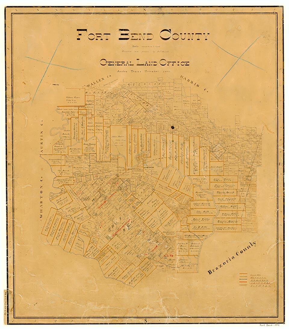
Arcola is at the junction of Farm Road 521 and State Highway 6 and the intersection of the Atchison, Topeka and Santa Fe and the Missouri Pacific railroads, twenty miles east of Richmond in southeastern Fort Bend County. The site is on part of the league granted in 1822 to David Fitzgerald, one of the Old Three Hundred. A large portion of the grant was sold to Jonathan Dawson Waters in the middle 1840s. By acquiring the whole league in 1850, Waters became the owner of one of the largest cotton and sugar plantations in Texas, which he called Arcola. The Houston Tap Railroad was built through the area of the plantation in 1858. After Waters' death the plantation lands were purchased by Col. T. W. House of Houston. The Arcola community was formed predominantly by freed slaves. A post office was established in 1869 and served off and on until 1920. Arcola became a railroad junction in 1878 when the Gulf, Colorado and Santa Fe was built through the county. By 1884 the community had a sugar mill, two steam gristmill-cotton gins, two general stores, a Baptist church, and a school. In 1903 the Arcola school district had two schools serving forty-two White pupils and four schools serving 176 black pupils. In 1914 the community had an estimated fifty inhabitants and one general store. In 1940 Arcola had a church, a school, the Riceton-Arcola cemetery, and four businesses. Arcola's population slowly grew to 120 in 1949, 299 in 1968, and 661 in 1986, when the community incorporated. Some of its growth may be attributed to its proximity to Houston. Arcola had two churches, a school, and a number of scattered dwellings in 1980 and a population of 666 in 1990. The population grew to 1,048 in 2000.
Mark Odintz | © TSHA
Adapted from the official Handbook of Texas, a state encyclopedia developed by Texas State Historical Association (TSHA). It is an authoritative source of trusted historical records.
- ✅ Adoption Status:
Belongs to
Arcola is part of or belongs to the following places:
Currently Exists
Yes
Place type
Arcola is classified as a Town
Associated Names
- (Juliff)
Location
Latitude: 29.50274120Longitude: -95.46636600
Has Post Office
No
Is Incorporated
Yes
Population Count, 2021 View more »
2,156